Dreams of the Arctic
Dreams of the Arctic
The train is slow but pleasant. It is a 36 hour trip to Winnipeg from Toronto. There are few people on board which makes me wonder how long-distance passenger rail is financially viable in this country and if anyone relies on it as their primary means of transport.
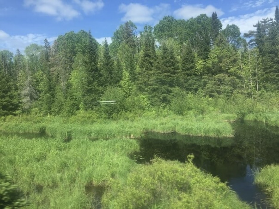
We stop at a few small hamlets in Northern Ontario, some of them do not look accessible by road according to my map. Passengers shuffle across the car as the names of unfamiliar places are announced over the PA system. A man sitting across the car from me has a mental episode and begins to shout profanities before security escorts him away. Past the sleeper I see families and couples enjoying the views in the sky deck car where there is a glass roof and walls.
Outside I barely recognize the world of birch trees, grasses, and small ponds. Past the edges of North Bay the boreal forest starts suddenly and seems to go on forever. The train tracks look as though on the verge of being swallowed as they haphazardly traverse the overgrown forests and encroaching wetlands of this dreamy part of the province. There is no cell phone service even though we are within reach of the great lakes.
Across the Great Plains
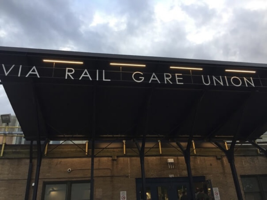
We arrive in Winnipeg towards the evening where I have arranged to sleep overnight in a yoga studio which also functions as an Airbnb. Winnipeg is made fun of as an undesirable place to live because it is cold and I suppose the crime rate is high for Canadian standards. Walking around downtown in the evening I do not feel particularly uneasy. I see many indigenous faces here.
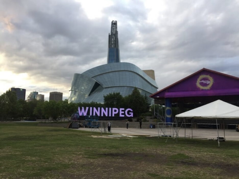
In the morning I walk over to the Forks and grab a coffee and cinnamon roll. The confluence of the Red and Assiniboine Rivers, once a major meeting site for the Metis, is now a national historic site featuring an indoor market. I see a few tour groups outside but besides that it is rather quiet. Afterwards, I visit the Human Rights Museum for a couple of hours. Nearby, there is a construction team setting up a stage for Indigenous week in front of the “WINNIPEG” city sign.
In the afternoon I ride to the city outskirts in the northwest and join the Trans Canada Highway near Headingley where it is less busy. The prairie sun is hot and the sky is clear. By the time I approach the town of Portage La Prairie, the sun is low in the sky and casts a lengthy shadow. I pitch my tent in a random patch of stunted evergreens off the side of the road. There are railway tracks nearby and the trains howl throughout the night.
The Canadian Prairie is blessed with a large network of small and medium local roads, in endless grid-like fashion, so there are many routing options for the adventurous bicycle tourist. But anyone who plans to ride across the country will ultimately take the Trans-Canada Highway, for it has a wide paved shoulder and reliable services, and funny attractions along the way.
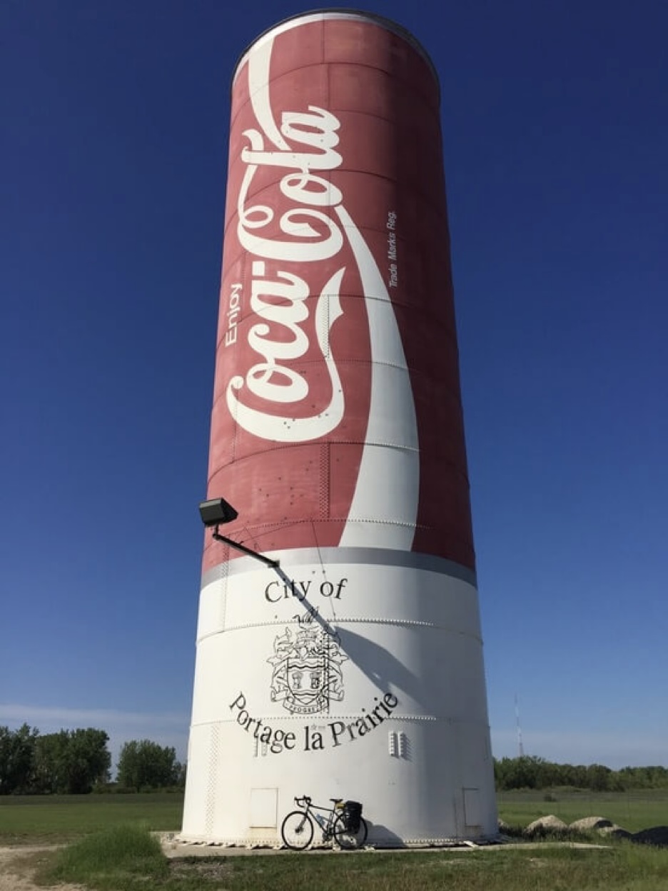
The morning starts out with some mechanical issues. I wake up to a flat tire even though there is no apparent tear in the tube. It should be a simple matter to fix but I break my tire levers changing the tube and when I manage to get the spare in it ruptures when I inflate it. I restart the process again and hope for the best. The last spare tube is holding air and I finally get on with the day. There is one main street in Portage La Prairie, lined with old and rather empty storefronts and a Tim Hortons which many local use as a gathering place. Near the end of town there is a large silo painted like a coca-cola can.
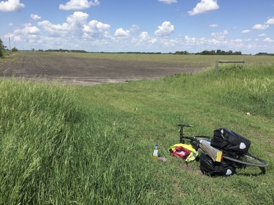
I ride onto the Trans Canada again. The landscape is flat and green as I pass industrial-grade silos, fields with farming equipment, signs for bible camps, ads for Manitoba tourism, and the occasional fruit and vegetable stand. Manitoba is a lot like an emptier and flatter version of rural Ontario with its agriculture and manufacturing industries in visible abundance. It does not evoke the vision of quaint prairie life I’ve conjured in my mind from TV shows like Corner Gas or Little Mosque on the Prairie. So far I am seeing a lot of transport trucks, nondescript warehouses, and empty tilled fields.
After a while I reach Brandon, the second largest city in the province. I buy some dinner and find a quiet place near the west of town to camp. From the highway the city sits on the southern banks of the Assiniboine river in a rather steep valley. West of Brandon, the highway undulates over a series of small hills. Traffic seems quieter and there are fewer industrial facilities now. As I begin to get closer to the border of Saskatchewan, the landscape seems to change imperceptibly with taller and yellower grasses, and quirky signs for small towns en route. Away from local traffic the road feels more isolated against the flat grassy backdrop.
What I’ve neglected to mention is that the entire day heading out of Brandon and towards Saskatchewan was plagued with non-stop rain. The rain was cold and relentless, leaving a wet mess on the road so that even when it temporarily dies down I am still met by its general wetness as I ride. I take advantage of the towns to warm up every couple of hours. All day there is a grey overcast sky and not much to see. My morale is on the lower side, but at least the dreary weather also incidentally gives me a tailwind, and at the end of the day, I celebrate my first provincial border crossing!
In Moosomin, SK, I check into a motel to warm up and dry my gear. In the evening, the sky clears and I walk around the town. Its economy seems to revolve around being a service stop for Trans-Canada Highway drivers. I am not wanting for any fast-food restaurants, Motel 6s, or gas stations which are in abundance along a strip. Away from the road there is a small downtown that looks sad and empty. Train tracks run through the town centre and a towering grain elevator stands next to the crossing.
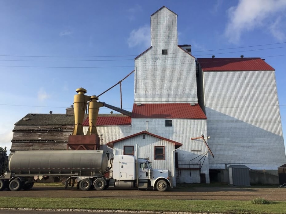
Leaving Moosomin, it is not much farther to Regina. The next two days it rains intermittently but it is light and rather refreshing. The scenery begins to get significantly more prairie-like, with grain elevators visible on the horizon in every town, standing tall against the surrounding flatness. It is difficult to tell if what I’m looking at is native wild prairie grass. Likely not. Except for a few protected grasslands, the wild grasses of the Great Plains and other Steppe ecozones in North America have largely been eradicated. I try to imagine the vast region as it must have been before this, home to free roaming bison and the semi-nomadic indigenous people who hunted them, and it is hard to do.
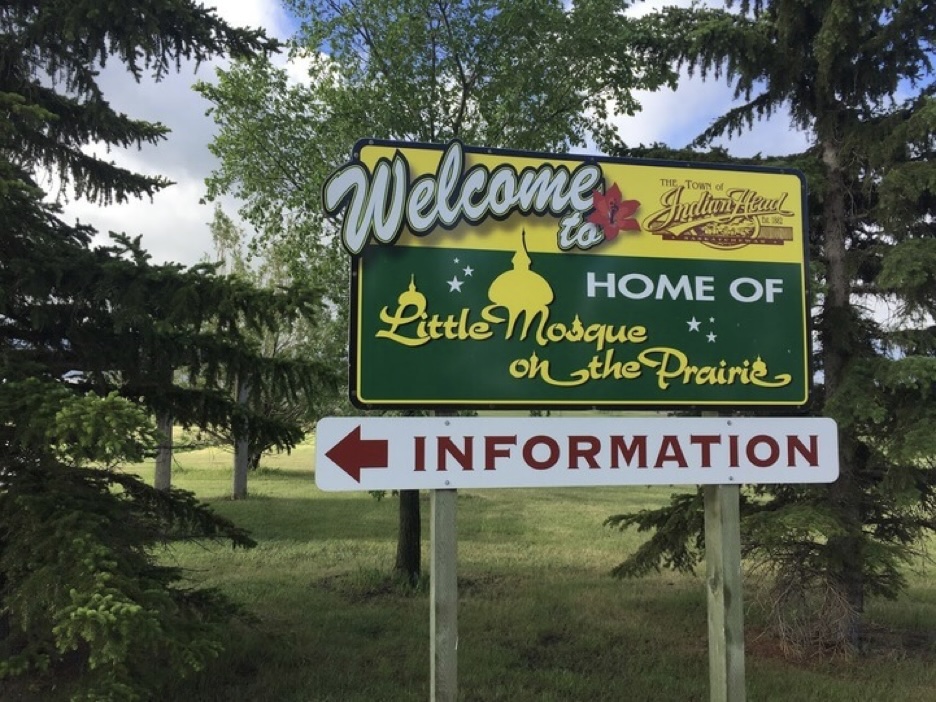
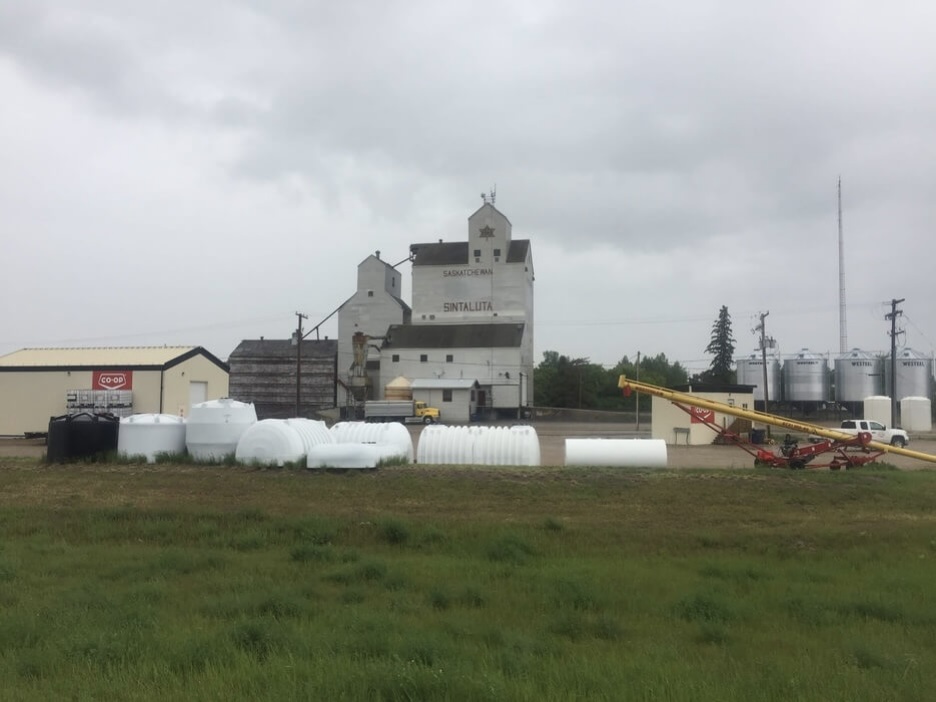
How a landscape of sustenance farming and homesteading eventually became the small towns with quirky names like Wolseley, Indian Head, Sintaluta, Qu’appelle, that I am seeing is hard to trace in my mind. Sometimes there is an information plaque describing something of the local history but more often than not the only consistent theme as I make my way across this strange and wonderful part of the country are the tall grain elevators.
In Regina I stay in a hostel overnight and take half a day to look around. The small roads leading into the city are busy with traffic. The roads are congested between suburbs and strip mall plazas, look worn and poorly maintained, paved and cracked under the prairie sun, damaged but the drastic swings of a continental climate. There is no reliable shoulder nor it seems sidewalk for any theoretical pedestrians.
In the middle of Regina there is a lake and a landscaped park with tall maple trees and waterfowl. Wascana Lake was created by damming Wascana Creek in the days of the Canadian Pacific Railway construction because the company needed water. Wascana, which means “pile of bones” in the Cree language, also used to be the name of the city before it was changed to Regina to honour Queen Victoria. Near the beaux-arts legislative building I wander to some cafes and other miscellaneous shops.
I soon head west on Dewdney Ave out of the city. I quite like Regina in the end. Wherever I go it is not difficult to imagine myself living there. I try to find something that I like about every place I think.
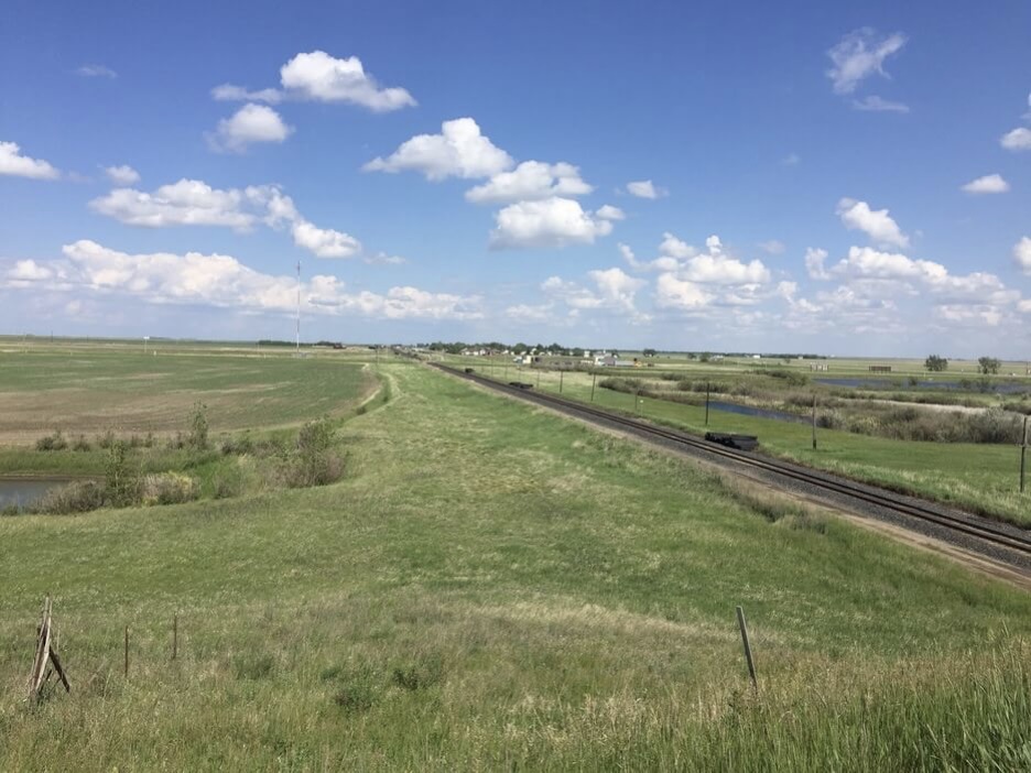
It’s time to move along and it is a hot and sunny afternoon ride to Moose Jaw, where I have arranged to stay with a Warm Showers host by the name of Glenda. I am in no rush so I meander and enjoy the sights of small farm houses and empty agricultural land. The wind picks up as I trudge along the highway, before riding through the streets of Moose Jaw to Glenda’s home around dinner time. There I have a nice shower and chat with my host who has made dinner.
She is an avid historian of Saskatchewan history. I learn about the Hutterites, a land-owning community of German Protestants deemed too radical for post-Reformation Europe, who now continue live out their traditions quietly on the Canadian Prairies and other pockets of the Americas. Here they live in units called colonies where each person has a dedicated role in the community according to their level of ability. Each colony is limited to 100 people to ensure everyone can meaningfully contribute. When the community grows over capacity, they buy a new plot of land and selected families move to start the new colony. They can do this because the colonies also happen to be very productive and in their traditional garb they can often be seen selling their surpluses at farmers’ markets in larger towns. They dress plainly: simple pants without back pockets for the men, while women wear long patterned dresses with bonnets tied under their chins. They are bound together by strict rules governing courtship, marriage, gender roles, a communal approach to living that seems to both embody and defy this rigidity.
I leave Moose Jaw refreshed and eager to get to Calgary. Heading west, the grassy plains have taken on a rich green colour with the occasional small pond beside the road with occasional waterfowl. I pass the village of Chaplin, situated on the saltwater Chaplin Lake. Piles of unearthed salt and machinery lie scattered with signs warning people not to trespass. The highway has rejoined the train tracks and I hear it whistling beside me as I approach the town of Herbert, where I camp somewhere unnoticed for the night.
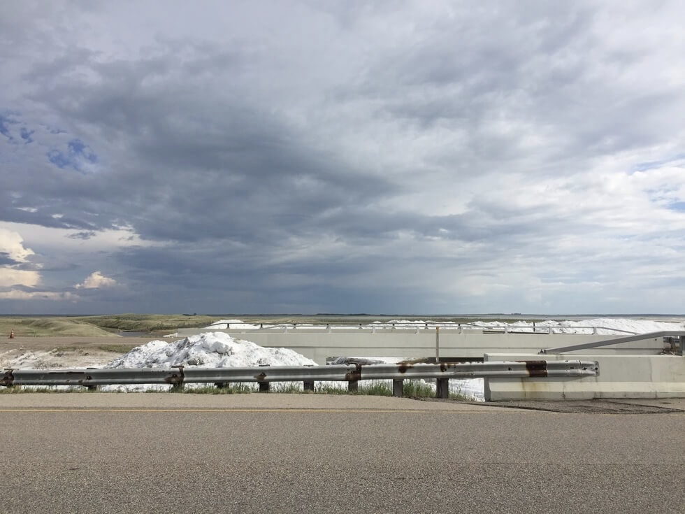
The road feels more remote here. Even though the distance between Moose Jaw and Swift Current is short, this section occupies a lengthier span of time in my mind. I remember there were fewer cars on the highway and often it was just me and the sound of the passing train. The towns were sparse and sleepy. There were no fast food franchises or signs advertising local restaurants or motels. At times the shoulder would narrow or become unpaved completely.
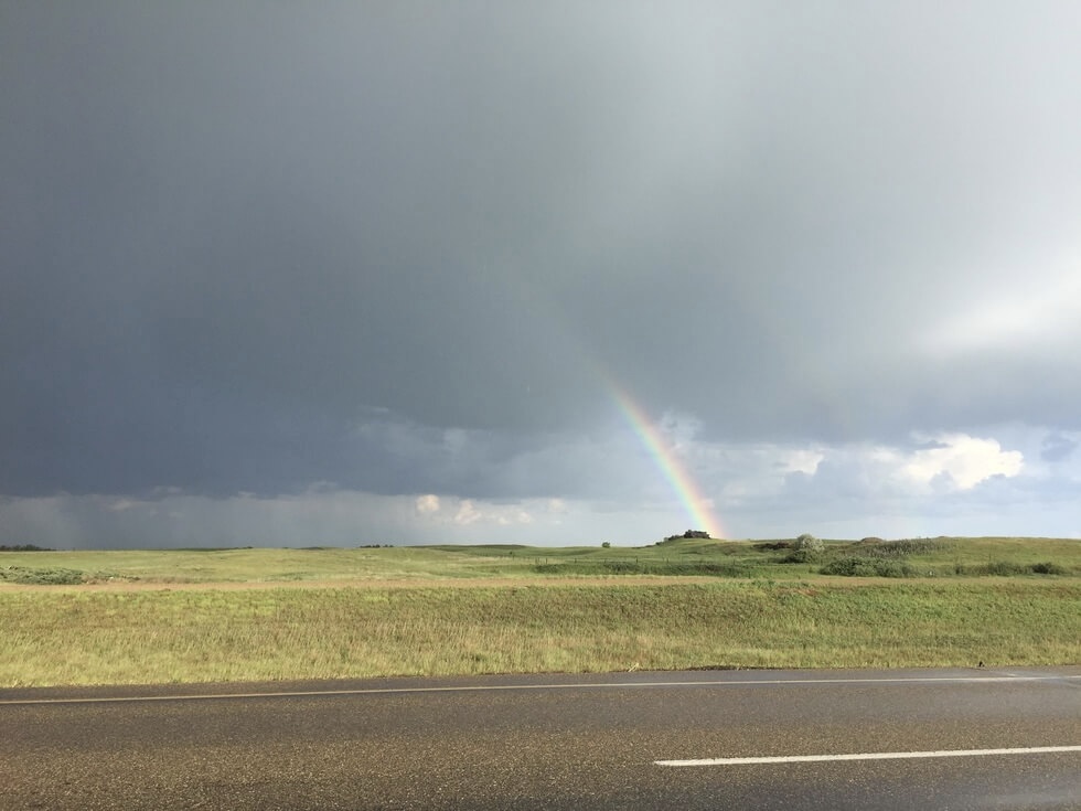
I remember sporadic bursts of stormy weather; concentrated storm clouds in the distance moving closer toward me, buckets of rain when I was in the thick of it for a few minutes, and afterwards a halo of sunlight. Riding into the evening, which is long and blends seamlessly into dusk, a golden light would envelop the landscape. At once I felt cozy and unsettled by the openness and emptiness.
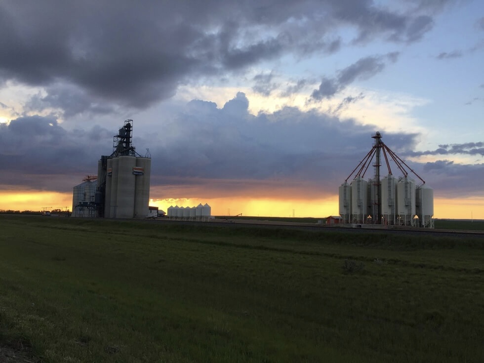
And just like that I re-emerge in a pocket of civilization. As I descend into the valley of Swift Current, the air feels hot and dry. I navigate myself past the automotive yards and strip malls to the town centre. Back to the faded storefronts, I am happy to sip on coffee at a local bakery on a quiet afternoon.
Soon it is time to say goodbye and head for Alberta. I take the highway out of the city and reach a junction for highway 32 toward the town of Leader, where there are sand dunes in the Great Sand Hills park. An interesting detour, which could be combined with a ferry crossing of the South Saskatchewan River, but perhaps one for another time given my time constraints. In the evening, I make camp in the quiet town of Tompkins where there is a well-maintained self-service campground.
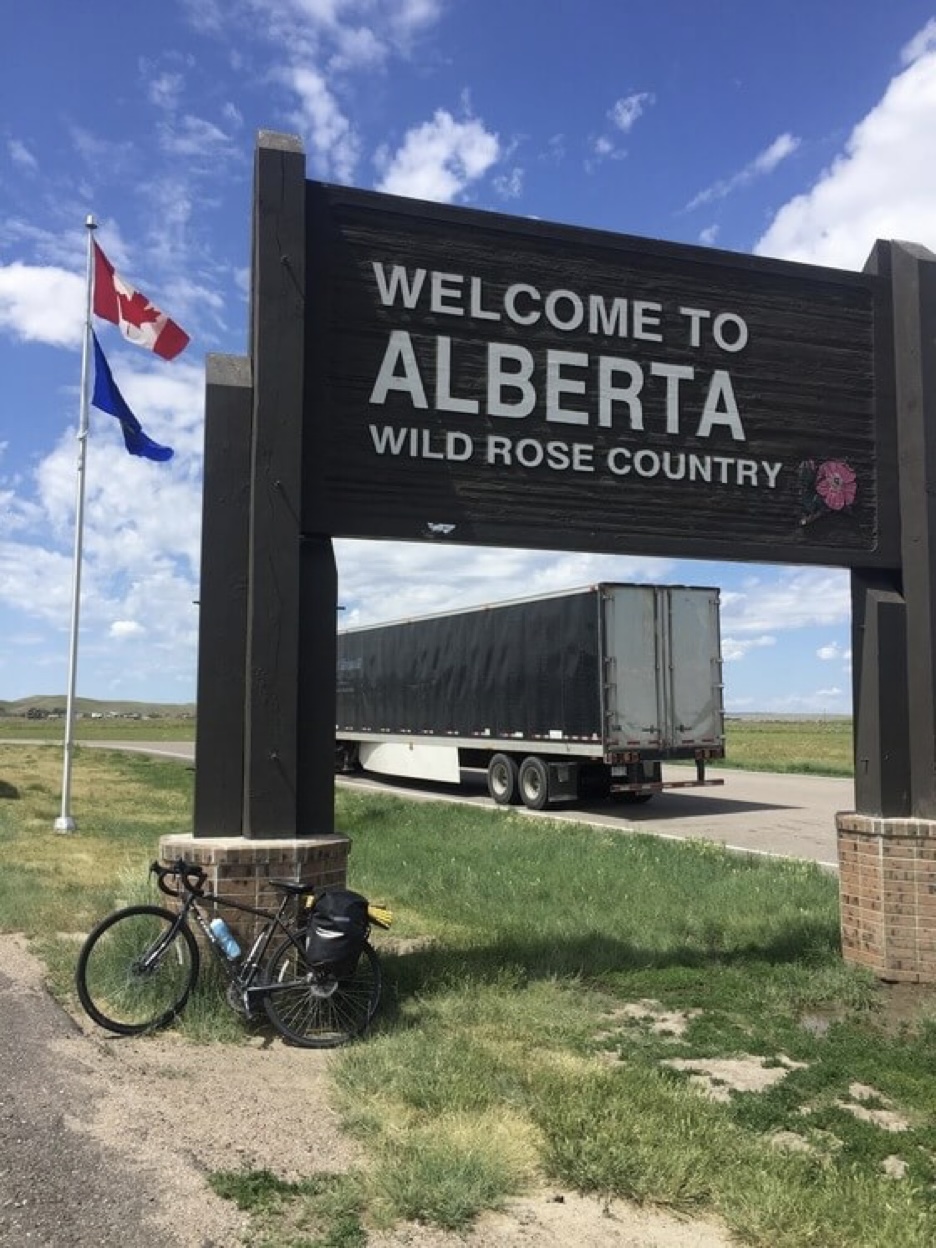
In the morning I make my way to the Alberta border, passing the Cypress Hills massacre interprovincial park to the south. It refers to the 1873 mass murder of a band of Assiniboine first nations people by American wolfers. It was this inciting event that prompted the Dominion of Canada to establish forts and patrols in what was this vast and empty land, and to make concentrated efforts for its settlement.
Between Tompkins and the border, the landscape begins to transform. Fields become gentle rolling foothills. I start to see cattle in the distance and the shape of valleys. Soon I reach the border of Alberta and take a break at the visitor centre. When I leave I see another two cyclists entering the building.
The rest of the way to Medicine Hat the landscape is riddled with signs of civilization, from power lines and cell towers to abandoned box cars and barbed wire fences. The grassy fields are yellow and dry, with specks of mint sagebrush. Sandy hills line the horizon. We form parallel lines: the railway, the road, power lines, cell towers, and me all on the same track, the nation-building infrastructure that connects us all together.
Riding across this empty and unmoveable landscape was starting to wear on me, what with the bouts of poor weather, city congestion, and fierce headwinds. Arriving in Alberta, I feel like most of the work is behind me. Already I can see evidence of ranching culture and oil exploration, and I know I have lots to look forward to in the Badlands and mountains to come.
Leaving Medicine Hat in the morning, I am eager to get riding. There is supposed to be a severe thunderstorm in the mid-late afternoon. Unfortunately there is an abundance of confusing construction at the edge of the city and after riding on a busy secondary road, I arrive in Redcliff, a small town with a fantastic bakery where I take a break with a coffee, donut, and the local newspaper. The donut is so good I almost forget about this morning’s frustrations.
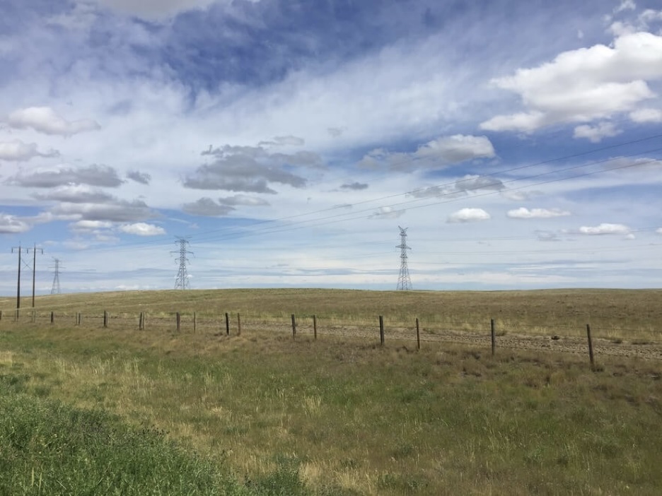
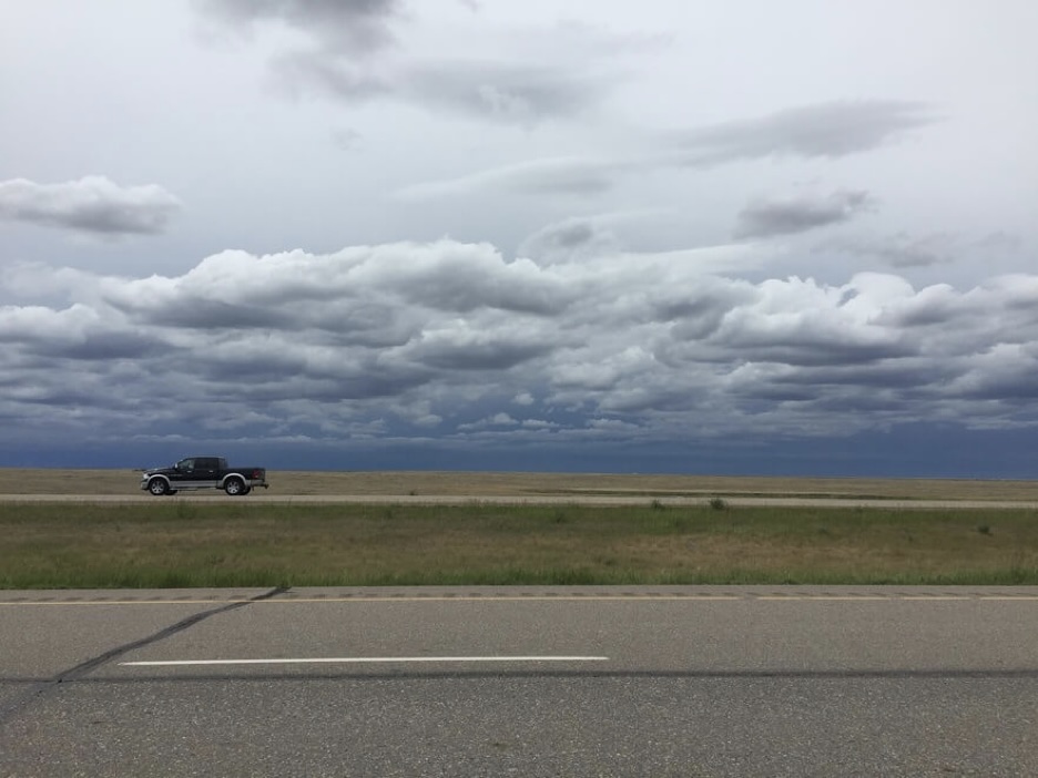
Moving along, I ride along the highway shoulder, same as usual, toward Dinosaur Provincial Park. It is hot and dry here and in the distance a dark haze of storm clouds is forming. Soon the sky ahead is grey and the sunlight of the morning is swallowed by the overcast.
I turn off the Trans-Canada onto a gravel road that leads to the small town of Patricia, which provides access to the park. I am on my way on when an oncoming pick up trucks appears in sight on this dark and remote road. I move to let it pass but the driver slows to a stop and rolls down his window. He warns me that there is a storm-a-brewing and I tell him that I am aware, but it is not too far until Patricia where there is an inn. It is indeed a windy and cloudy afternoon but the weather has held up thus far and I doubt it will rain so much so suddenly that the road will be washed out.
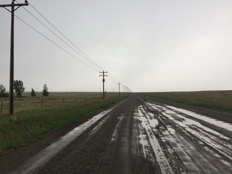
I am riding along steadily when it starts to rain. First a little and then a lot more. I have dealt with worse in the north of Norway. The unpaved road however ceases to cooperate with my plans when wet and I try to concentrate on riding a straight line the tracks against the wind and monitoring for numbness. It is cold and wet but I still manage to take some photos of my surroundings. What a strange and unrecognizable place I am in.
As I ride on this empty gravel road through the storm I notice that the fields beside me are riddled with small tent-like structures for what I can only imagine has to do with crop protection against… well, I have no idea. A search online later informs me that they are indeed shelters but not for the crops; rather they shield the alfalfa leaf cutter bees which are indispensable for cross-pollinating the canola plants. Hives of bees are apparently trucked to farms and distributed by the acre. The canola are planted in rows called bays alternating by male and female species. Female plants have been sterile-bred and primed to receive pollen while males self-pollinate. Bees are necessary to cross-pollinate the female plants and produce a hybrid seed while the self-pollinated males are mown down later.
Canola, as it pertains to Canadian history, is an interesting prairie story. Canola is a trademark abbreviation of Canadian oil, and Canada is the world’s largest exporter of ‘canola oil’ with 90% of our production sold as a surplus every year. In the 1960-70s, agricultural scientists in Manitoba and Saskatchewan managed to cross-breed a strain of the rapeseed plant with much higher food-grade oil yields and significantly lower acid and sulphur levels and called it Canola. If there is one thing I will remember it will be the blankets of yellow Canola thriving in this harsh landscape.
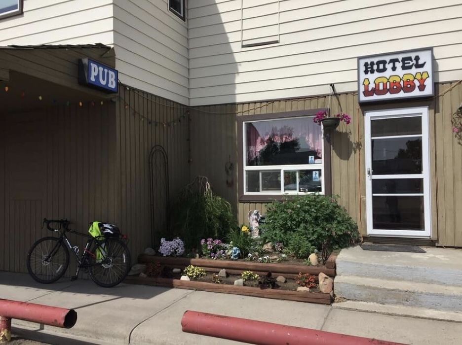
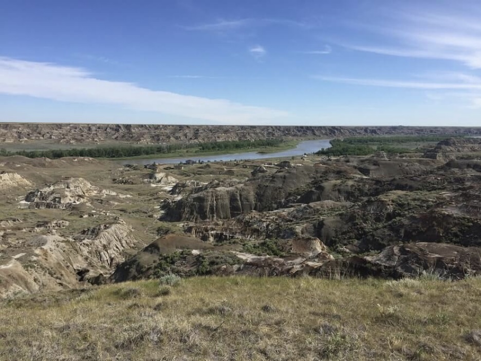
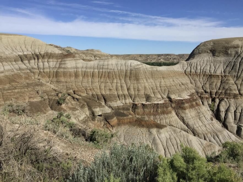
I make it to Patricia wet and cold. The rain has died down for the most part but riding through the rain has worn me out so I get a room at the motel. It has an intense old western theme and a ‘grill your own steak’ dinner special. Luckily, I have my own stash of food and I’m too tired to do anything besides lie down and sleep anyway. In the morning before check out I ride the 14 km or so to Dinosaur Provincial Park for a quick visit. The road to the park is rather unassuming with empty surroundings. Then the flat ground opens up like a small canyon suddenly and below one can see towers of rock with colourful alternating bands of fine sandstone and siltstone, like a subterranean world. In the distance I see the Red Deer River which runs southeast across Alberta from its headwaters carving and eroding the badlands landscape.
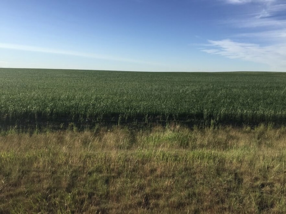
I ride back to the motel, check out, and start heading for Calgary. The weather promises to be nice minus the gnarly headwinds. I meander through small country roads through the villages of Duchess and Rosemary and enjoy some fresh baked goods and coffee. When I rejoin the highway traffic is a bit busier now that I am in Wheatland County, closer to the dense road network around Calgary. I ride late into the evening through green fields of young wheat.
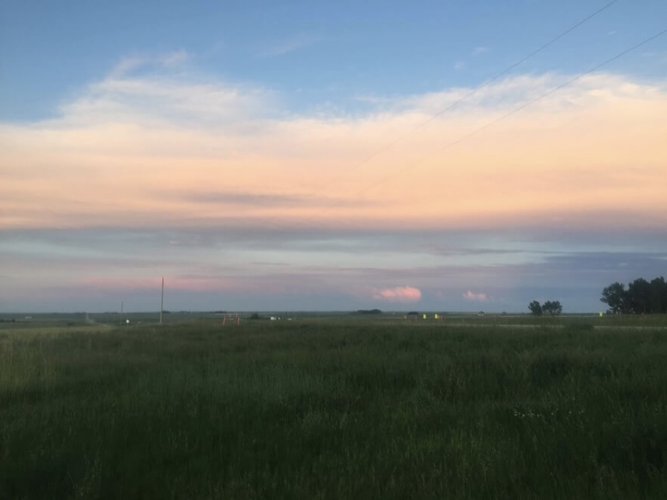
I make camp as the sun dips below the sky and the lingering streaks of orange and red begin to fade. Today is the last full day before I am in Calgary for a nice day of rest and reunion with Reinier. I am looking forward to indulging in city life and seeing what Calgary has to offer. Strolling around downtown with a coffee in hand and taking the subway sounds like great fun mostly because it is such a contrast to these last two weeks.
Sometimes the sheer size of this country is difficult to comprehend. I started not so far from Hudson’s Bay and now I am not so far from the Rocky Mountains, having traversed the great plains and a significant width of the Laurentide ice sheet that covered Canada many millennia ago.
In the end, the last day of riding is rather uneventful. The sky is blue and the headwinds are fierce. The highway to Calgary is narrow and busy with suburban commuter towns in succession, and soon I am riding through an endless suburb at the outskirts of the city proper. I am forced by the mad traffic onto the sidewalk and find my way to the Bow River. There is a bicycle path that I can take toward the neighbourhood where we are staying. Calgary is rather hilly and with my fully loaded panniers it is not the most convenient commute as the bicycle path climbs and descends steep grades. In the evening I ride to the airport which is located in the northeast corner of the city and is surrounded by more suburbs. There is only one main road that leads to the airport area which means I am sharing it with many cars. At YYC I pick up my jet-lagged Reinier from Europe and we take the bus from the airport with our bikes on board to a suburban transit centre instead of navigating the highway in the dark.
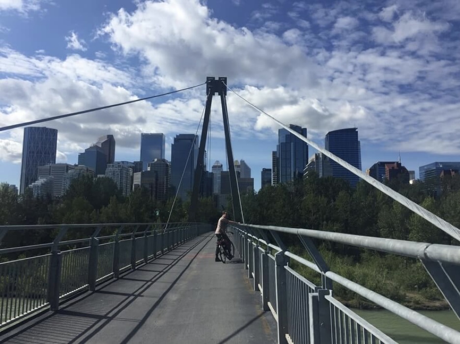
On our rest day we enjoy the comforts of modern life and browse the outdoor store for casual necessities. It feels nice to be reunited and I’m excited about what else I’ll discover about this country.
Rocky Mountains are Rocky
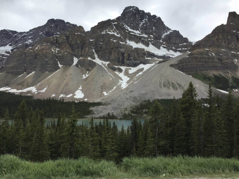
It has been on my mind to make a trip to the Canadian Rockies for a long time and it was this nagging idea that helped shape the route of the trip. Banff and Jasper National Parks are famous enough for a reason to go and I was excited to visit the mountain towns and go hiking.
On July 1, Reinier and I ride to Canmore, where we have been invited to a Canada Day BBQ by our Warm Showers hosts Kirsten and Lyle. It is a long meander out of the endless suburbs but eventually we reach highway 1A which follows the Bow River. There is a nice shoulder for the first part with views of the mountains in the distance before we descend steeply into the valley in Cochrane, where the road narrows and becomes busy. We fight for space with cars who pass us against oncoming traffic.
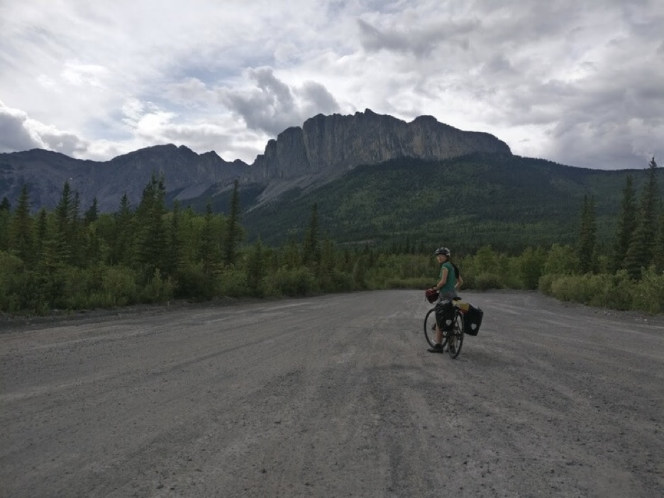
Eventually, the traffic dies down past Ghost Lake reservoir as we approach the park outskirts. Tall cliffs and dense forests envelop us. We see a couple of industrial sites and former mining outposts. There is roadside maintenance and quarry equipment scattered between camps. Soon, we reach Canmore and head over to the party.
Riding through the residential streets of Canmore, the air is cool and wet. Shadowy faces of the mountains are cast in the distance with navy blue undertones that blend with tall evergreens against the asphalt. I can hear the babbling of the Bow River nearby.
The BBQ is winding down by the time we arrive and everyone is lazily huddled around the fire in camp chairs. There is outdoor clothing and colourful hardshell galore. We meet our hosts Kirsten and Lyle. We happily feast and start talking to people. The guests in attendance happen to comprise ¼ of the Canadian Biathlon team. Our hosts tell us stories about their bicycle touring, skiing, and mountain biking trips. Lyle used to work for a major oil and gas company before smoothly retiring in his early 50s and has some views about the perception of the industry.
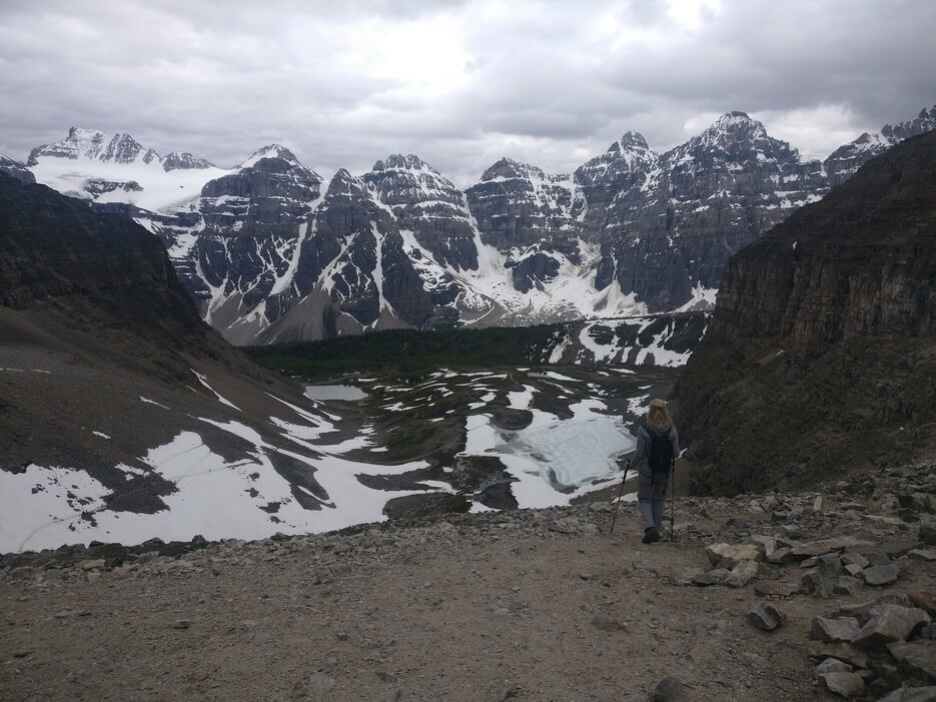
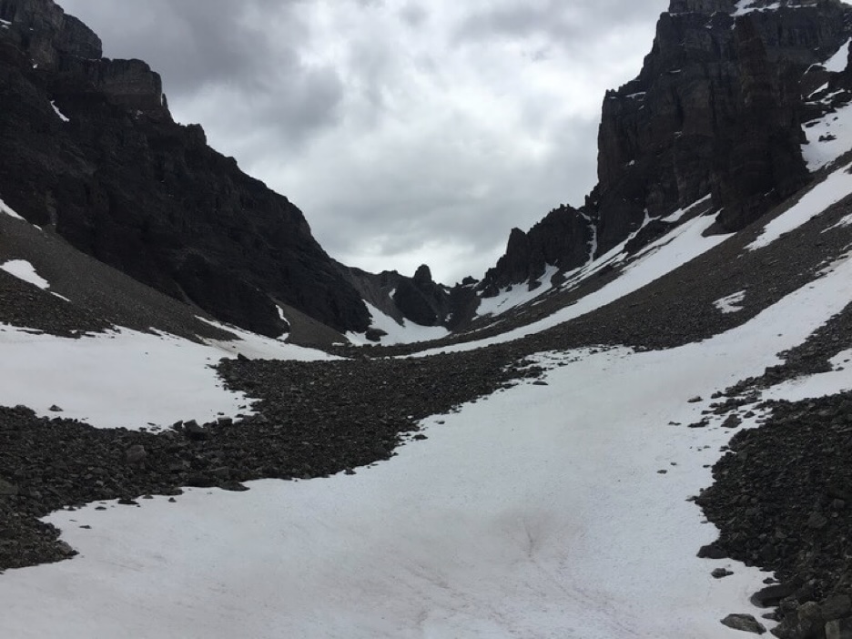
We spend the next three days in the area going on hikes and experiencing the spectacle that is the Park during the summer. It is a battle for parking spots and a clear camera shot of the famous lakes. But depart a couple hundred metres from the main area on a marked trail and there is no one in sight. We go on a nice hike with a fun scramble near Sentinel pass and a valley of larches on the descending side which ends up taking us to Lake Moraine. On the third day there is a lot of rain so we go to a cafe and museum, and do some shopping and planning. Back at Lyle and Kirsten’s house we reclaim our bikes and other gear, which they have generously stored while we went hiking, and head on our way into the night.
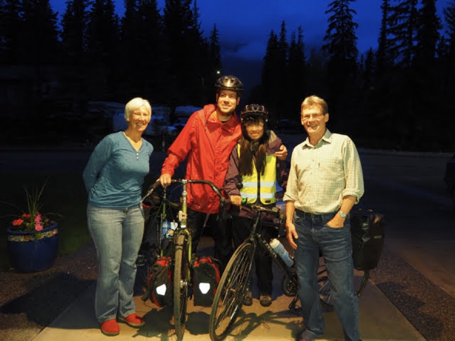
We ride along Banff town and then take the Bow Valley Parkway to Lake Louise. Dedicated roller-skiers, cross-country athletes training in the off-season perhaps, share the recreational path with us. Near Lake Louise turn onto the Icefields Parkway to Jasper.
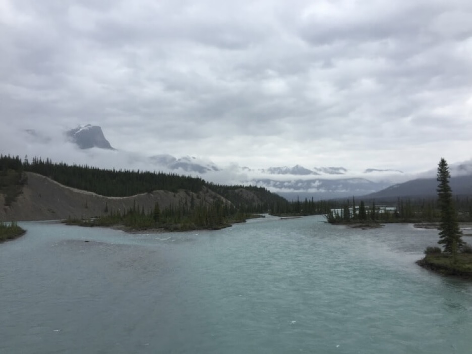
There is not much to say about the ride except that it is very beautiful and cold at times. We manage well with our layers and rain gear. There are beautiful wildflowers along the way and views that are wholly sublime.
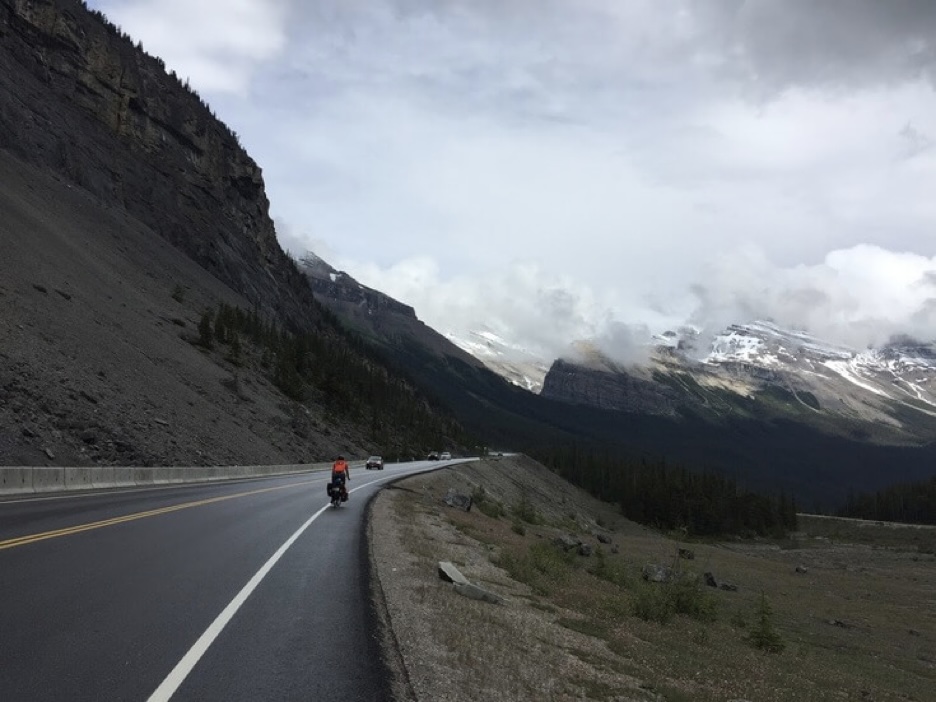 We see a couple of big horned sheep crossing the road on the climb out of the valley to Bow Pass. Road construction here is costly and conservative and limited to the sweeping valleys. It remains most straight with a fairly easy grade as we cross over to the watershed of the North Saskatchewan.
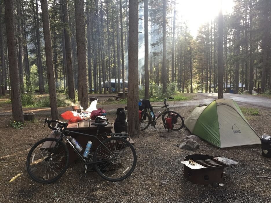
In the evenings, we camp at the self-service campgrounds along the highway where we practise our fire-building skills with wet firewood and roast marshmallows. My tolerance for the evening cold is lower than Reinier’s and I succumb to the warmth of my sleeping bag while he practises the Ukulele.
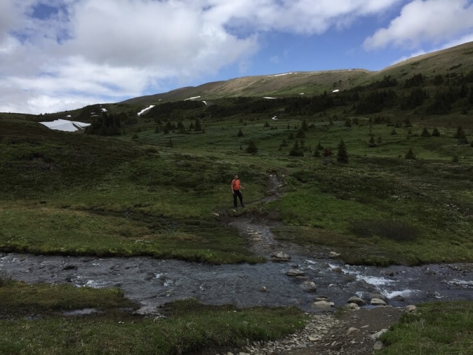
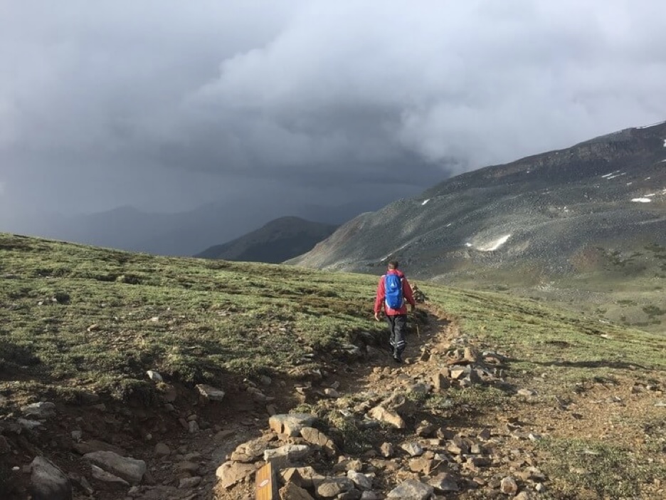
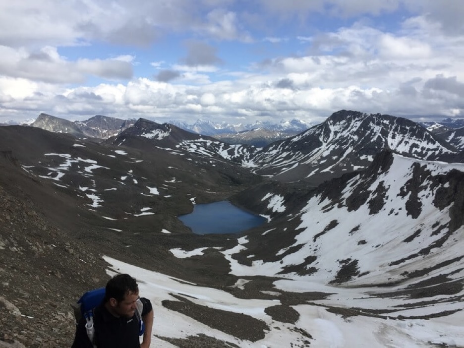
Three days of riding on the Icefields Parkway and we arrive in Jasper. In town we stay at a hostel and hitchhike to Maligne Lake where we hike the Skyline trail. The trail is nice and aside from the last 8 km on a boring fire road the views are very beautiful.
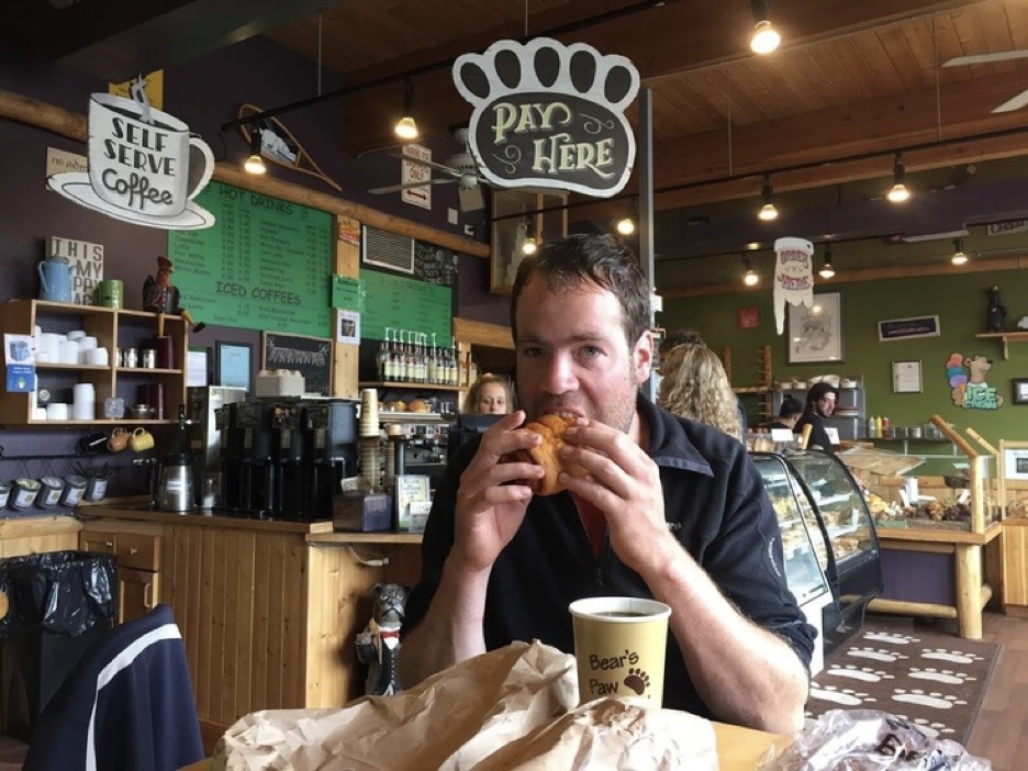
In town we make an embarrassing number of visits to the Bear’s Paw Bakery and give them all of our money.
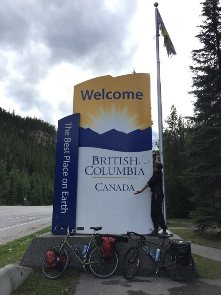
We leave Jasper on highway 16 heading west, and soon cross the provincial boundary for British Columbia. The highway named after Yellowhead pass where it was chosen to cross the Rockies, which in turn is named after the explorer Pierre Bostonais and his legendary blonde hair.
At Tete Jaune Cache we turn south onto Highway 5 also known as the Yellowhead South. We ride past sparely inhabited towns and share the road with logging trucks, camper vans, and other long distance travellers. This region is fairly undeveloped and the scenery against the foothills does not change very much but we try to make it interesting by taking smaller backroads on our way to the Okanagan. The North Thompson River flows nearby and we cross its tributaries several times.
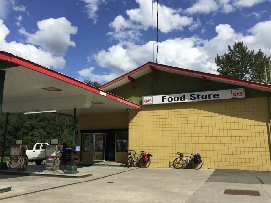
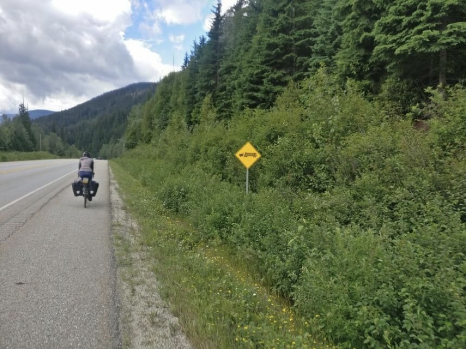
Near Barriere, we take a small climbing road to Adams Lake. It is a nice ride through cattle fields and apparent ranchlands. There are ‘no trespassing’ signs everywhere, and when we get to the lake there are a couple more next to a fenced off area with cabins and trailers. A party are having a BBQ and a stranger give us water and beers. From there we take the forest service road that meets up with Highway 1 near Squilax.
Logging camps are visible on the lake shore in the evening light from our perched position along the hillside. We pass a series of private homes near the outflow of the lake where the road becomes paved again.
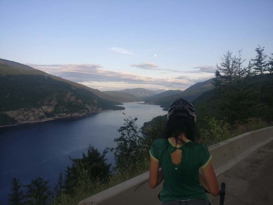
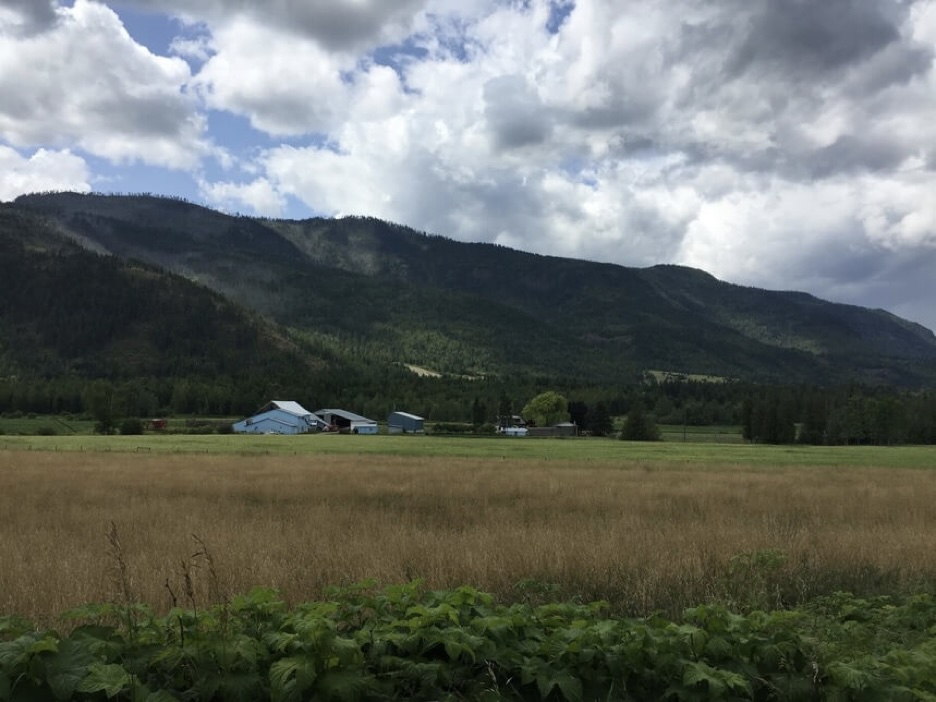
The rest of the way to the Okanagan is a combination of busy highways that are unpleasant and beautiful country roads along small agricultural fields that make up for it. The farther south into the valley we go the better the weather gets and soon our concerns are matters of avoiding the heat and staying hydrated. The Okanagan Valley is bounded by the Monashee range of the Columbia mountains to the east and the Coquihallas to the west. What results is a climate that is warmer and more arid than you would expect for a place at this latitude.
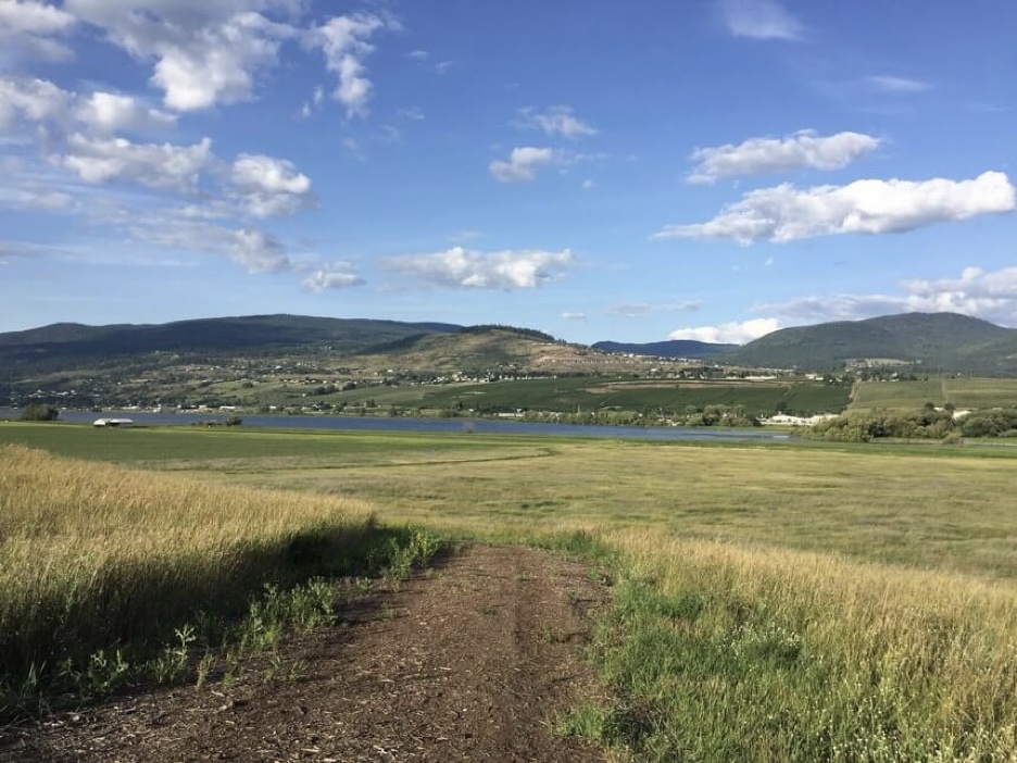
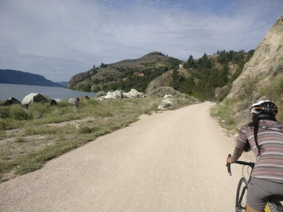
On our way to Vernon, the first city in the Okanagan Valley proper, there are fruit stands, apple orchards, signs for wineries and farms abound in the valley. The town of Vernon itself is rather bland so we take the rail trail around Kalamalka and Wood Lakes to Kelowna in lieu of stopping. The trail is popular among locals even on a weekday afternoon. As we ride, I am perplexed by the white sand beaches, Mediterranean style lakefront homes, sandy hills with sagebrush and juniper shrubs.
By my observational evidence the demographics of the Okanagan area skews older, and I do remember reading online about it being an attractive retirement and family-raising region. Kelowna though seems like a mid-sized city with a nice and vibrant downtown area and healthy student-aged population. There is even a hostel with the usual hostel characters and decor where we stay for the evening.
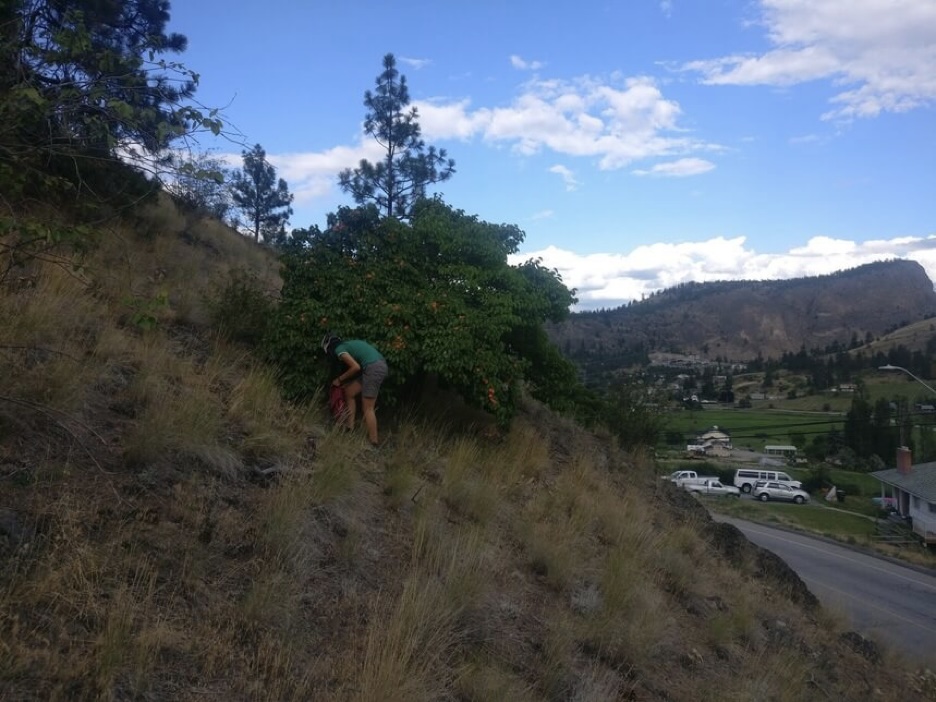
The next day we cross the bridge to West Kelowna, and the neighbourhood of West Bank, which is an odd blend of beautiful waterfront vineyards, parks, a residential area, and the nearby West Bank First Nations. Then we ride on the shoulder of Highway 97 to Peachland and Summerland with views of the lake and traffic. Summerland is the kind of cute small town where everyone looks like they are happy, probably because they live in a place called Summerland. We spend a couple of hours there for lunch and then head toward the Kettle Valley Steam Railway where we will take a rail trail to Princeton. On our way we pass small acre farms with fruit trees and horse stables. There is an apricot tree overflowing with fruit next to the road and we stop to fill our panniers.
As it happens, the rail trail is closed due to fire risk, so we take a county road across the highlands instead. It soon becomes unpaved and replete with potholes for some rough riding. There is an abandoned community called Bankeir that is listed on the map but has no signs of life except for a couple of empty cabins and a payphone. We have lunch at a picnic table with overgrown grass around it.
On the quiet unpaved road we are shocked to see other cyclists heading our way. They are two girls from Washington State who are riding the Trans Canada trail to the Bugaboos, a famous climbing area in the BC Rockies. Their trail is nothing more than a network of poorly maintained single track mountain biking and rail trails. They have wide rimmed wheels and fenders for their purpose and are cheerful despite stories of misadventure. We tell them to look out for the apricot tree in Summerland and say goodbye, continuing onward to Princeton where we enjoy a beautiful descent. There is not much to say about the town except that it is small, isolated, and located at the union of the Tulameen and Simikalmeen Rivers. It is the early evening when we get there and it seems everything has closed for the day.
The problem with heading east-west across British Columbia is the lack cyclist-friendly routing options. In the Southern Interior, there lies a formidable obstacle in the spine of the Columbia Mountains and its many subranges and adjacent valleys. Two major highways traverse this difficult terrain toward the lower mainland: Highway 3 (the Crowsnest highway) and Highway 5 (the Coquihalla highway). Neither of these are comfortable options for us and we are managing to get by so far using small connectors that traverse across the landscape. First from Summerland to Princeton. Now from Princeton our best option is to head along Coalmont, Tulameen, and Brookmere on small likely unpaved roads again before riding on the Coquihalla Highway for a short stretch towards Hope, BC in the Fraser River Valley.
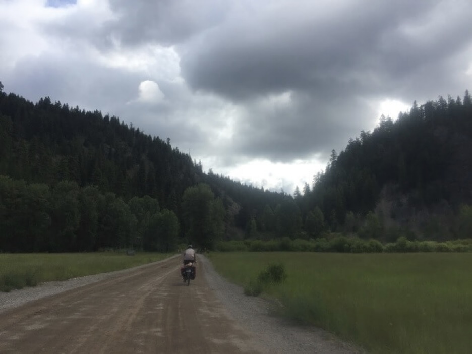
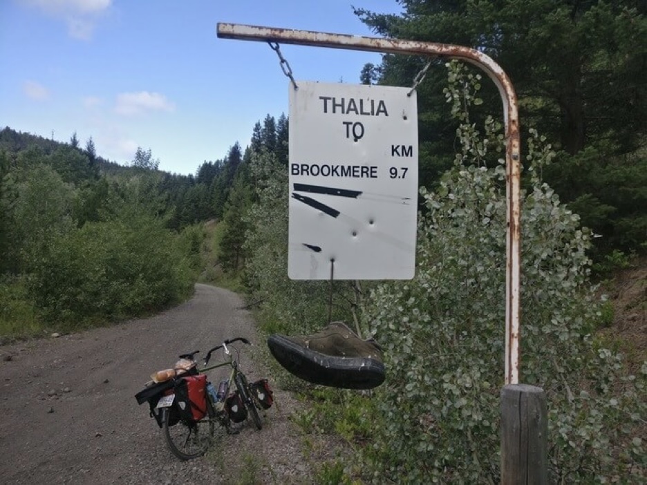
The road ascends as it follows the narrow gorge created by the Tulameen River. It is a quiet scenic ride to Otter Lake where there is a provincial park where we stay the night. The next day we ride past Otter Lake through forest and fields on the way to Brookmere. Then the gravel road ends and we are off-road completely on a bumpy rail trail that meets eventually with the Coquihalla Highway.
When we reach the road what awaits us is not a quiet mountain road like the Yellowhead South through the Thompson River valley, but a busy expressway heading uphill on a 7% grade. The road surface levels out after a while but the traffic does not and the whole experience is rather stressful and unpleasant. Fortunately for us, the map shows something nearby from which we can get to Hope and avoid the highway completely. However, this proves to be miserable in a different manner as the trail is completely overgrown and largely unrideable. After a short while of walking a set of jeep tracks appear. It is cold in the shadow of the Coquihallas and the sky is grey. It feels good to be finally riding again.
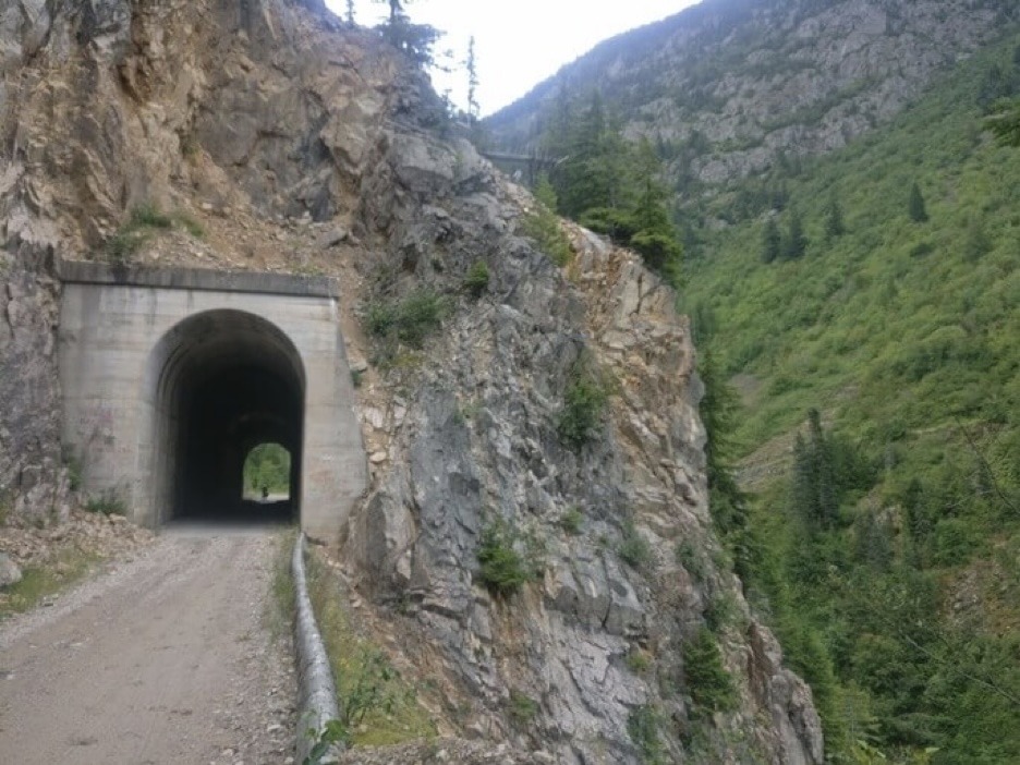
We follow the jeep road to a rest area where a plaque explains that this section of the Trans-Canada trail is an unmaintained mountain pipeline road that descends into the valley of the Coquihalla River where the old Kettle Valley Railway used to be. We descend the lonely gravel road as the highway climbs to a pass. Forest and rock, untamed plant life, and a deep gorge surround us and the only evidence of human presence are the railroad tunnels built through the unforgiving rock and the outline of logging roads winding on the other side of the valley. It feels very special. This is not the kind of place one reaches easily.
In the evening, we camp on a flat clearing presumably used for logging, and enjoy this corner of the world.
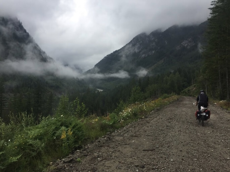
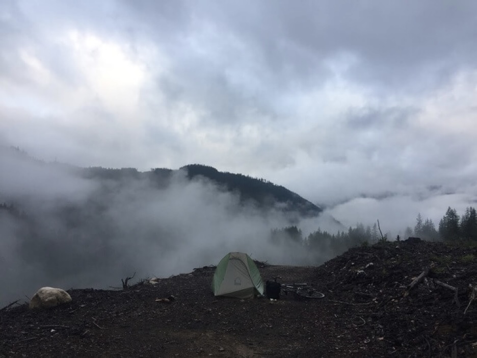
The next morning we reach a junction where the trail meets back up with the highway. We are close to Hope now so we decide to return to the road. We meet back with the rail trail at Othello Tunnels, now a provincial park that showcases the Coquihalla Canyon. There are plaques detailing the effort and expense during the frontier era to build the rail tracks here. In Hope we recover at a cafe/bakery. From here it is downhill to the Pacific Ocean.
Fraser River Valley and the Pacific Coast
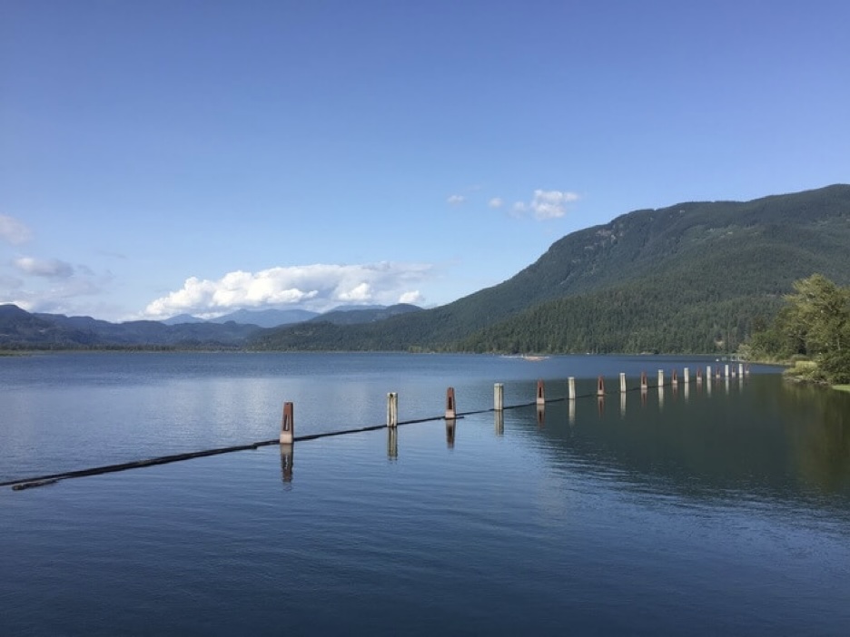
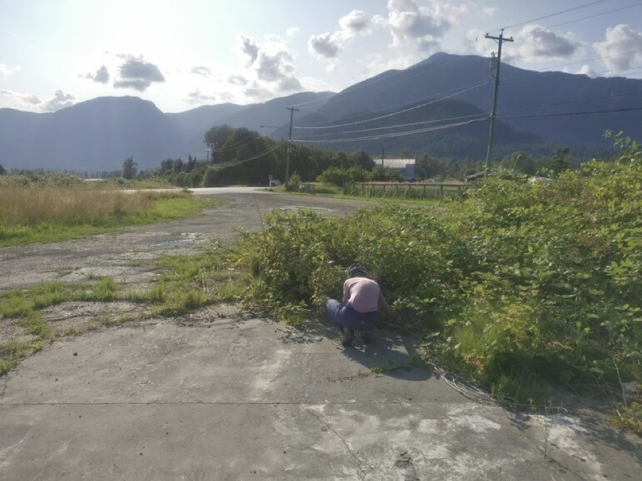
We’re in the Fraser River Valley now heading toward Vancouver. Named after Simon Fraser, an explorer who followed the river to the Pacific Ocean from the area of Prince George near its source. We ride along the Lougheed highway. There are wild Himalaya blackberry bushes all around the road ripe for foraging. The silhouette of the Nicomen mountains form a backdrop against the horizon against the slow-moving slough. At Mission, we take the bridge across the river and begin heading toward Langley on some narrow country roads before camping in a small park.
In the morning we ride toward Fort Langley, a National Historic Site. The landscape begins to take shape with a dense road network lined with services, country homes and acreages in greater sight. Near For Langley we find ourselves unwitting participants of an official bicycle race. Lycra wearing road cyclists pass us deftly and a lady takes our picture at the end of the apparent course where a cheering crowd awaits.
The next few hours in Metro Vancouver through the cities of Surrey, New Westminster, and Richmond are as suburban as can be. On the map they blend together as one big suburban complex swallowing the delta.
In Vancouver, we stay overnight and spend a rest day looking around the city. I like the urban beaches and parks, all the activity, and visual spectacle. It is enough to watch the sunset on Kits Beach as a dot amongst the crowd to feel like you are a part of something.
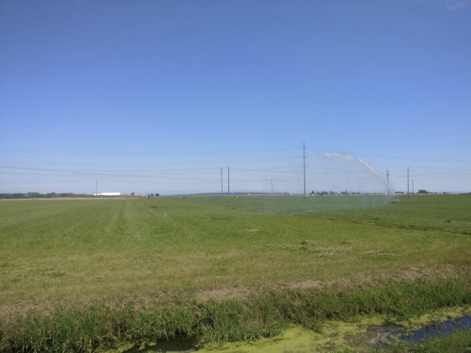
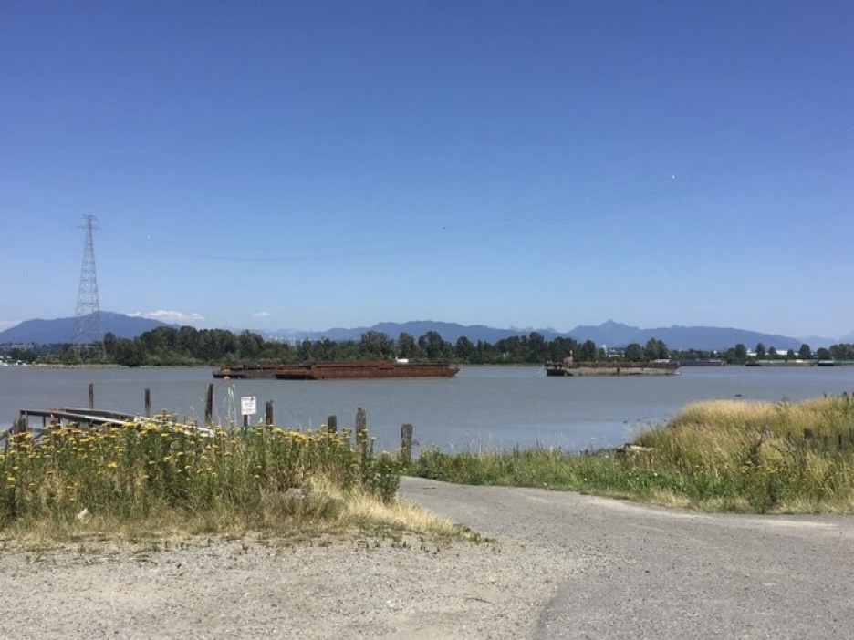
The next day we make our way toward Tsawwassen Bay where we will take a ferry across the Georgia Strait to Victoria on Vancouver Island. The way is filled with fruit orchards and farms away from the industrial activity near the river. The Tsawwassen peninsula is rather beautiful with its views of the Olympic Mountains in Washington visible on the horizon. The land is mostly devoid of development. Nearby there is the Tsawwassen First Nations reserve and the peculiar American exclave of Point Roberts.
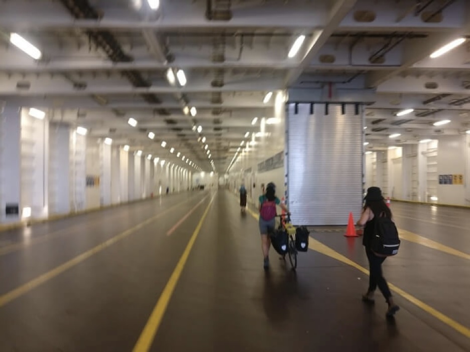
Despite its proximity, Vancouver Island appears to be a microcosm with its own local culture separate from its neighbours across the Georgia Strait. Recreational trails are in abundance to navigate towards Victoria past a stream of residential clusters and forest. The land is also noticeably shared with indigenous groups and much of the island is designated protected territory.
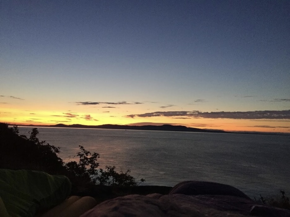
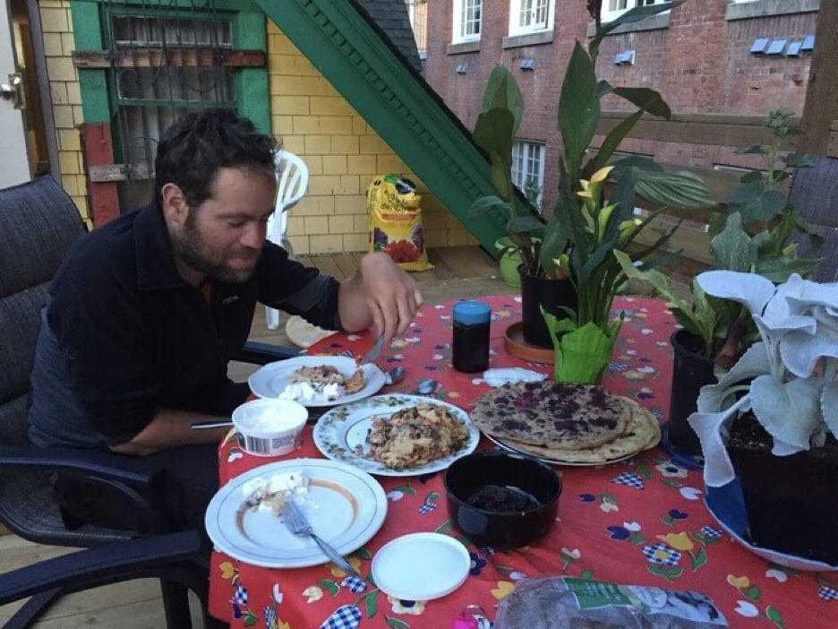
We cowboy camp on a slab of rock overlooking the coast behind a row of houses. Wild-camping on this part of the island proves to be difficult with its density of residents. In the morning, we reach Victoria. It is a beautiful city with heritage buildings in the old downtown and streets suited for cycling. We enjoy two days here in the province’s capital, sightseeing, reading, and making ourselves pancakes at the hostel with our foraged blackberries.
You might be wondering why we seem to be getting farther away from the Arctic, heading south to meander around Vancouver and Vancouver Island. That is because the plan is to take the Inside Passage day ferry along BC’s coastline from Port Hardy on Vancouver Island to Prince Rupert in Northeastern BC, where we will continue our journey to our final destination. The overland alternative seemed less appealing. With the ferry option we are able to experience some more of the diverse geography and landscape around the Southern Interior and now the Coastal climate.
We ride from Victoria to Sooke along the west coast of the island. There are noticeably fewer towns and the road network is sparse. In the evening we manage to grab a walk-on campsite at the China Beach Campground. The next day, the plan is to go on a day hike of the Juan de Fuca Trail and take in the west coast biome. This is a rather tricky thing to do logistically with no car and expensive bicycle touring gear. We lock our bikes to a tree trunk at the campsite and hitchhike to a trailhead 30 km from the campground.
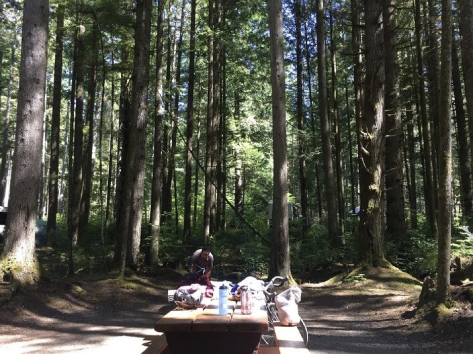
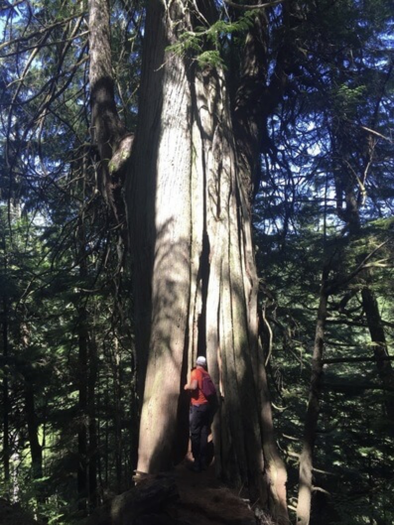
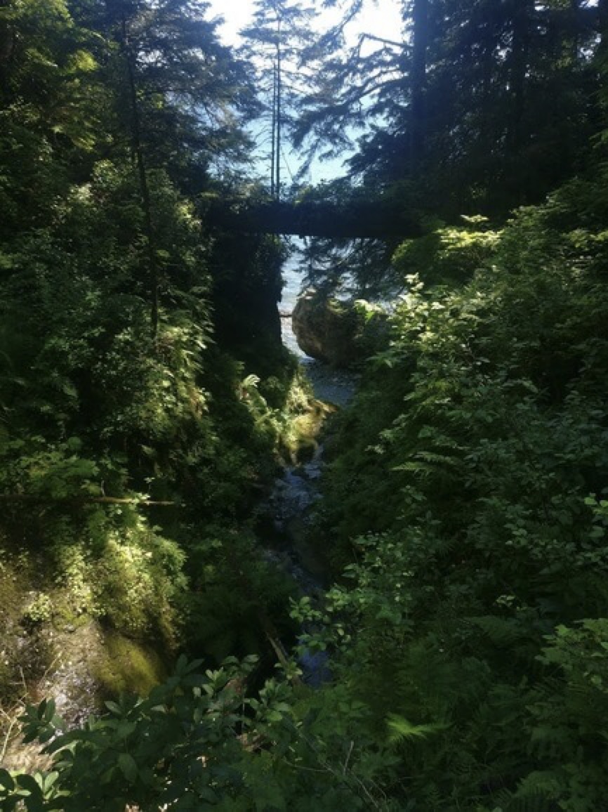
The Juan de Fuca trail winds in and out of the rugged coastal rainforest and rocky beach of the Pacific Coast. The overgrowth makes for a rather convoluted hike. Our surroundings make up for the hard work with all the giant cedars, ferns, and arbutus bushes; the rich ground overflowing with strong roots, rocks, and mosses. The water lapping on the shore and one can smell the ocean air from the path. Rays of sunlight filter through the tall cedars. The trail involves walking on the pebble beach along the ocean. Large pieces of white driftwood and sheets of dried seaweed and the detritus of other strange sea faring creatures are scattered on the ground. In the distance we can see the outline of the Olympic Mountains. There’s no one else around.
We hitchhike back to the campground in the evening and enjoy another night of camp life. The next day we ride onward to Port Renfrew, where the West Coast Highway ends. A spine of rolling hills and forests run longitudinally across Vancouver Island, dividing it into a lush “west” side, where the protected Pacific Coastal rainforests, mudflats, and many indigenous reservations are found, and a drier “east” side facing the mainland where most of the commercial activity and urban development occurs. There are only a couple of roads that directly traverse the hilly interior between the two coasts of the island. We take one such road, windy and newly paved, across the centre of the island to Cowichan Lake.
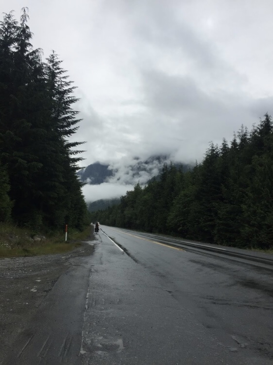
We are pressed for time as our ferry through the inside passage of British Columbia’s coastline from Port Hardy is scheduled for July 31. The next couple of days will be full days of riding to get there on time after being rather cavalier about our rest days. Heading toward Port Hardy, the island towns become smaller as we approach the northern terminus of the highway. Traffic along the main road is rather unpleasant with the influx of summer tourism. Still, we manage to enjoy ourselves: lots of coffee, picking berries, indulging in creature comforts in Nanaimo, admiring the sights and smells of the coast.
From Campbell River, the last major settlement and at a population of 30 000 the largest town we will encounter on our trip until Whitehorse, the highway becomes an empty solitary road through dense rolling forests.
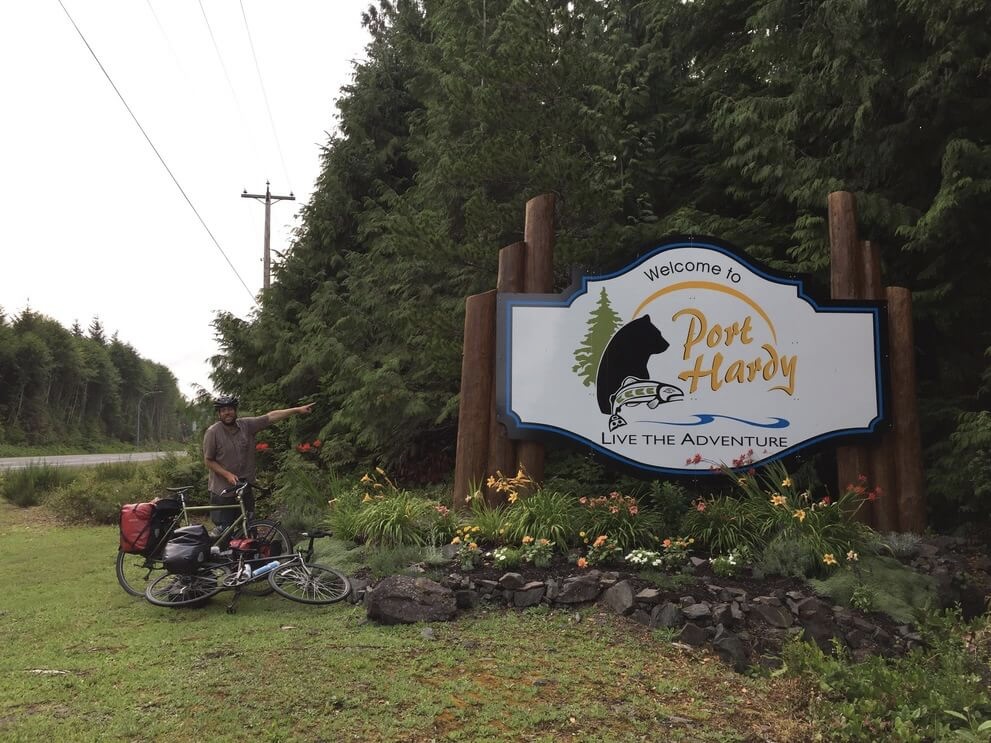
We get to Port Hardy the evening before our set departure on the ferry early the next morning. We ride from a hidden campsite on an overgrown walking path off of the road to the dock in the early hours before dawn and see a towering ship floating on the water, the faded light from its many windows pierce through the darkness and it looks like something from a dream world in this remote place.
Northern British Columbia
In the span of 16 hours on the ferry we gain a few hundred kilometers in a northerly direction. When we arrive in Prince Rupert we are only halfway across the span of British Columbia but it already feels much farther. Prince Rupert has a quaint charm with its tourist attractions along the port and an abundance of wooden piles. It is the rainiest town in the country with on average 240 days of rain per year.
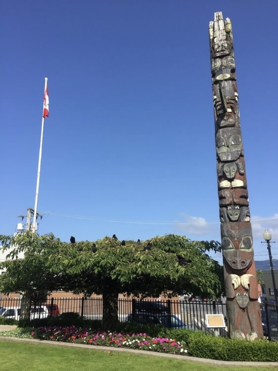
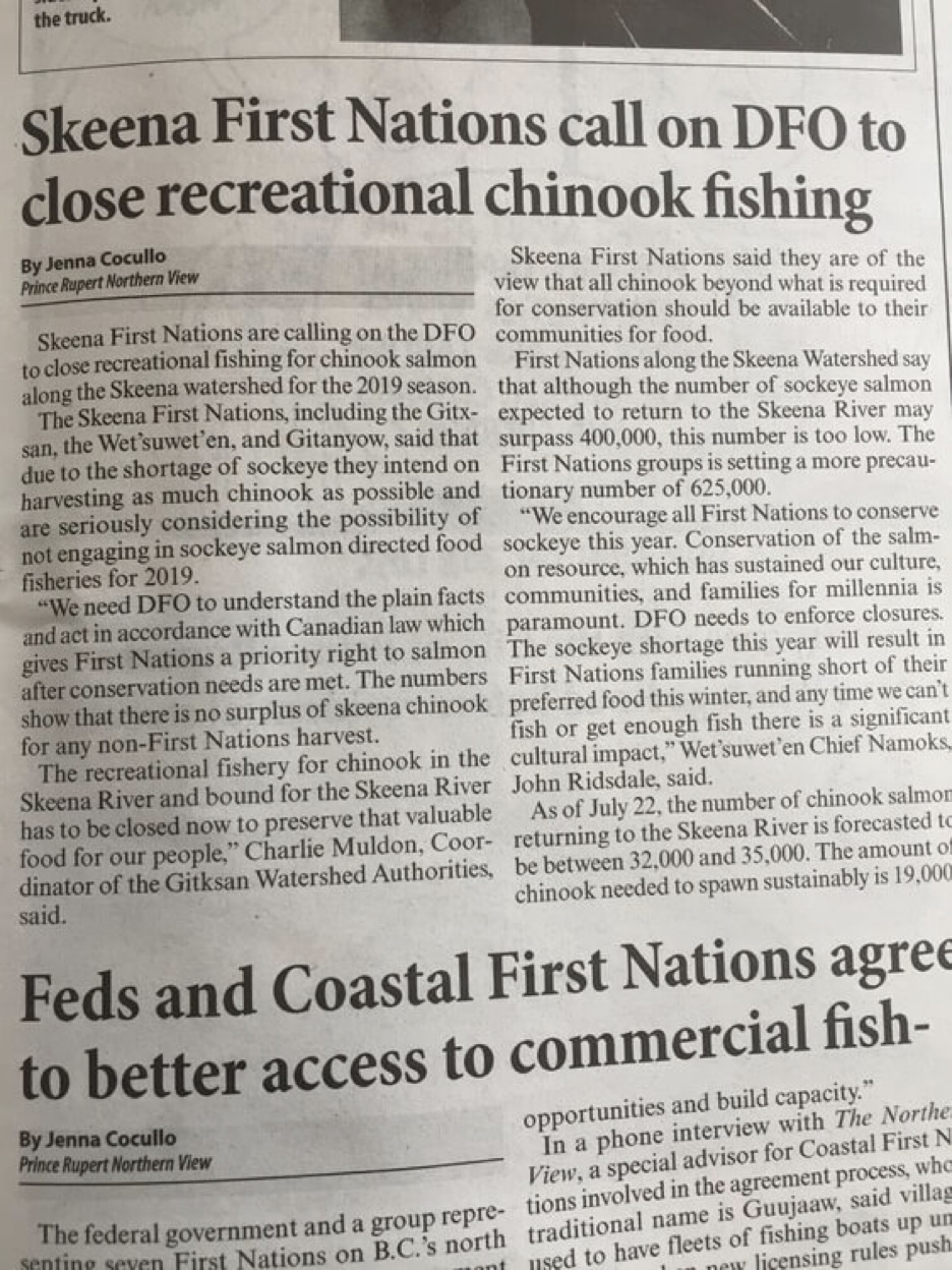
It is in the physical geography of British Columbia that I imagine all the best parts of Canada and I have seen it now. From Prince Rupert we make our way east to Terrace on Highway 16 which follows the valley of the Skeena River. Spruce forest dominates the landscape and the remoteness of where we are becomes clear. Distances here are marked by rest stops on the road and there are no towns or hamlets to demarcate the day. The wide Skeena River flows to the south of the road, once a major trade route for the first nations peoples who used to inhabit the coastal area between Haida Gwaii and shores further inland along its banks, now so eerily empty I feel as though I am intruding.
Terrace is a town like any other and when we arrive they are having a town parade. There is even a bicycle path into town with information plaques along a boardwalk. There are also the usual big supermarket and fast food chains. It appears to be a hub for outdoor recreation with several sporting goods stores, a local bike shop, and Canada’s first cooperatively owned ski resort.
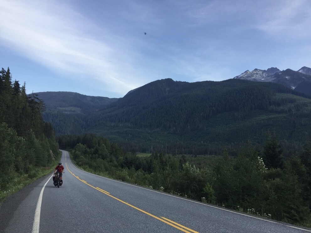
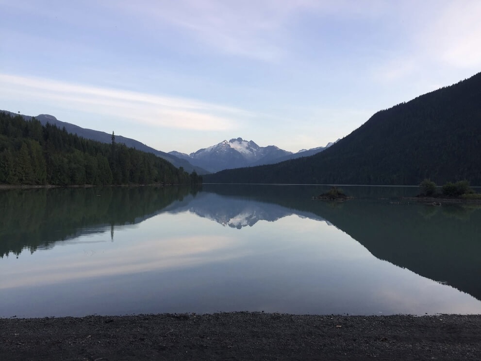
In Northern BC it is easy to appreciate those primary sector industries that form our economy: forestry, fisheries, and mining. The Stewart-Cassiar highway, named after the defunct Cassiar mines, was first constructed in response to a mining boom. Now the road is something of a cross between an essential supply route for sparsely populated hamlets and an emerging scenic drive for access to remote outdoor recreation. For us it is the overland route of choice to get to the Yukon. From Terrace it is a quiet and scenic ride on the Nisga’a highway to Nisga’a Memorial Lava Bed provincial park.
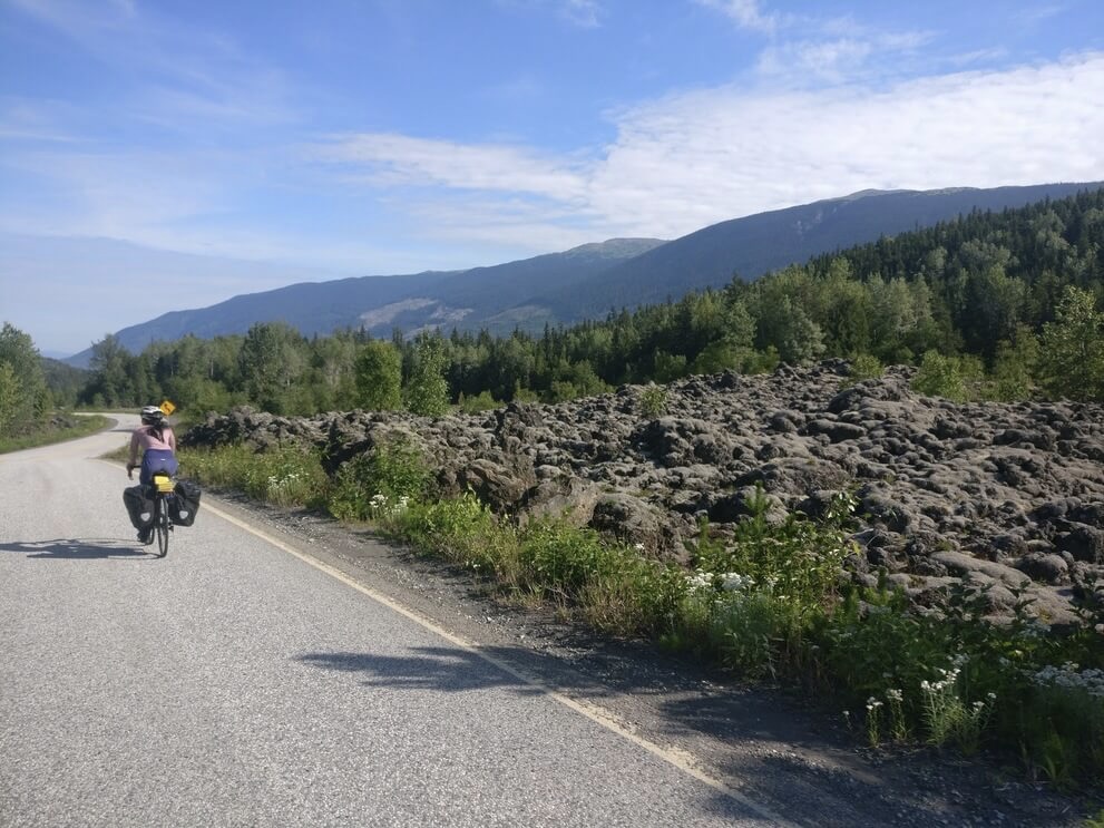
We pass the First Nations community of New Aiyansh and signs for other Nisga’a settlements along the Nass River. It is the kind of hot, lazy summer bike touring day against remote surroundings that I cherish. We encounter a bear, the second on the trip thus far.
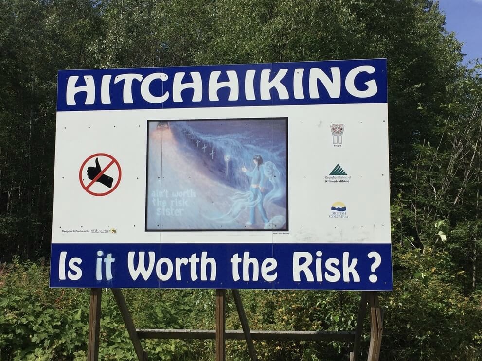
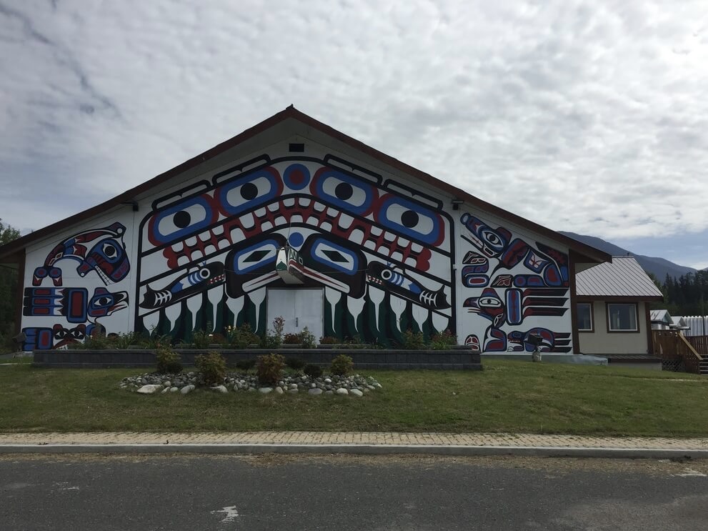
Sign outside New Aiyansh, echoes of the “Highway of Tears” where indigenous women often go missing
The Stewart-Cassiar highway is also known as the Dease Lake highway. In July of 2019, two homicides occurred in this region which received national and international attention. The first took place near Watson Lake on the Alaskan Highway where the bodies of a young couple were found next to their camper van. The other took place over 500 km away near the hamlet of Dease Lake, where there was a burning truck and nearby the body of an older man who was a professor at a local college.
By the time we arrived, it had been a month since the discovery of the victims and the focus of the manhunt was on Manitoba. By then the police presence and spook in Northern BC had died down. But a couple of weeks ago in Victoria all we knew was: two apparently random murders on major roads in Northern BC with no knowledge of any perpetrators. I had half a mind to abandon the whole Arctic Sea idea and head south to the Cascades. All this to say that these events were front of mind as the hours passed riding on the remote road. In Meziadin Junction, an uptick of tourism for a glacier near the town of Stewart on the US-Canadian border is visible. We are well away from the Skeena river now and views of the Skeena mountains in its upper drainage basin welcome us.
We still do not have bear spray. What an oversight! The previous evening we are spooked by an enormous grizzly bear walking on the side of the road ahead of us. This morning there is another grizzly bear on the side of the road. A nice Australian family with a rental van offers to act as a blockade so we can ride past the bear.
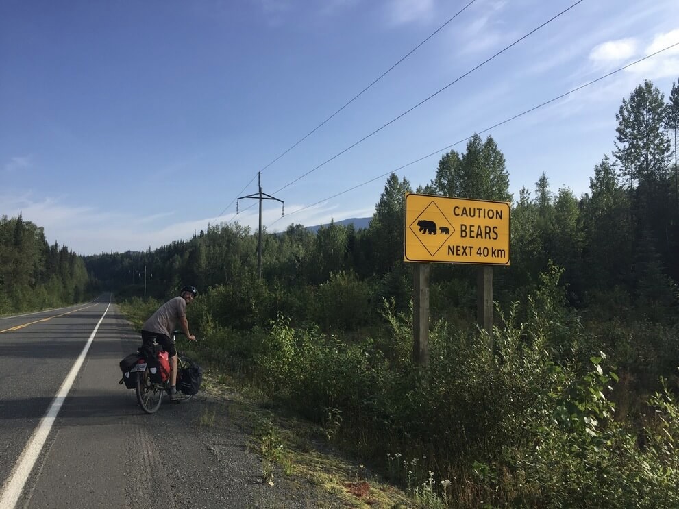
In the evening, all the bears are out, on the road, in the verge. Oncoming cars stop to warn us about them, which, thankfully tonight the only bears around are black bears foraging for clover. One of them generously gives us bear spray out of concern. I think they look kind of cute and sweet. We are cautious and give them space, proceeding after vehicles have shooed them away or singing obnoxiously to alert them to our presence. Progress is slow-going with all the bear breaks but I am enjoying myself and feeling like this is where I belong.
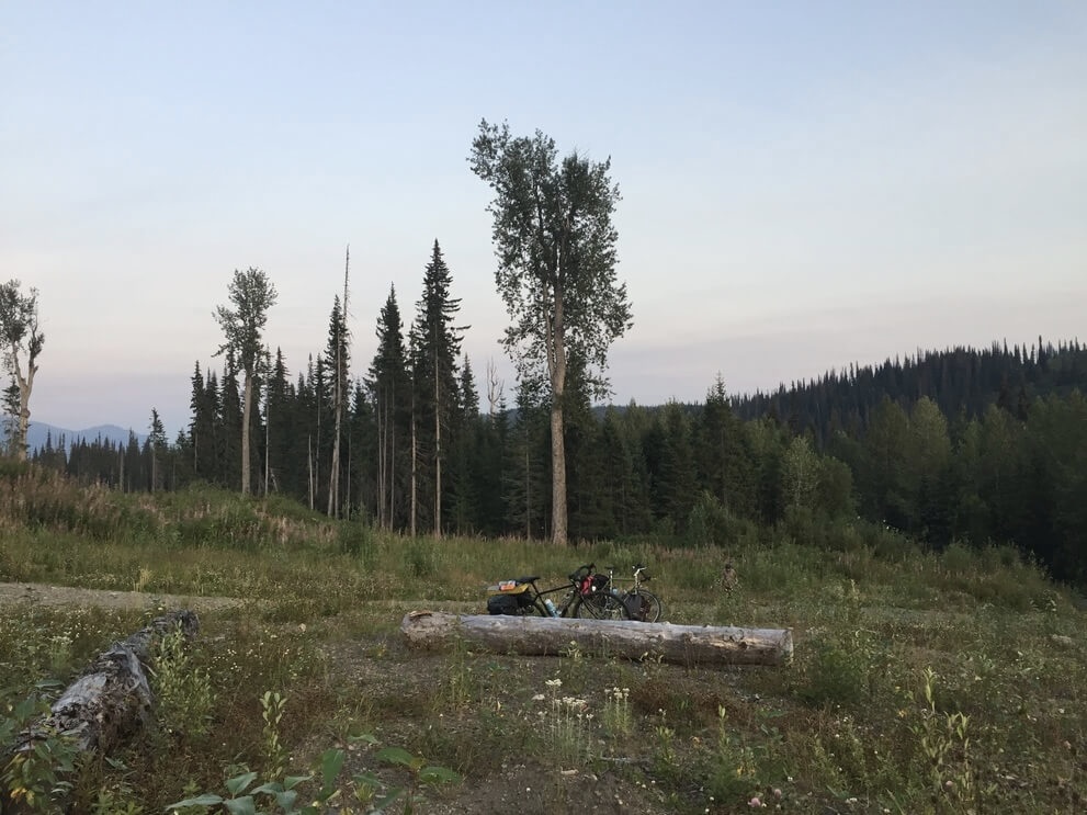
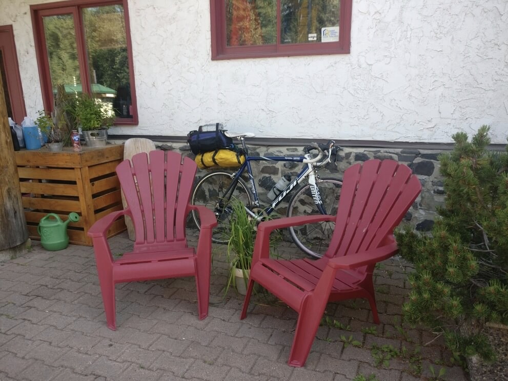
Opportunities for resupply or a hot meal are few and far between on the Dease Lake highway. Usually this comes in the form of a “gas bar” where a gas station might also have an attached restaurant or grocery store, and perhaps even offer accommodation or laundry services. But on this day we pass Bell II Lodge, an off the grid wilderness lodge in the Skeena Mountains that offers heli-skiing in the winter and fine dining year round. We meet a man from South Africa on his road bike with an ultra-light setup who is averaging 180 km everyday!
After Bell II the road climbs out of the valley and follows the wide Ningunsaw River for a short while before climbing again to an elevated plateau. It is a long day of riding with many simple pleasures to the Kinaskan Lake Provincial Park campground. We close the day by enjoying a nice slice of camp life among kayak wielding vans.
In the morning we pass Tatogga Lake Resort, which is more of a rustic backcountry lodge. We have breakfast at the cozy diner and encounter the eccentric owner behind the grill with his taxidermy collection in full view. There are lots of nearby wildlife in the mountains and the resort offers its guests wildlife tours.
Onward, to Iskut, a small First Nations community where we load up on a few grocery items at the store, and then ride through a beautiful surrounds before descending to the Stikine River which forms a canyon upstream apparently popular among high level white water rafters with its rapids.
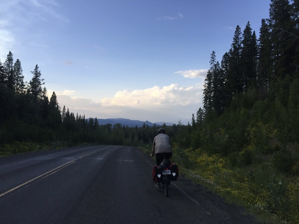
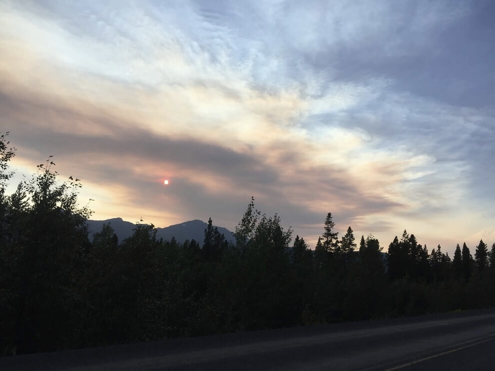
It is cloudy and raining on and off in the afternoon. It doesn’t take long before the large spruce trees lining the road become smaller and more sparse as we gain elevation out of the river valley. We ride through another elevated plateau with open views of small lakes, hills, and mountains in the distance. I have a difficult time making sense of the terrain in this part of the province and all its features seem indistinct and to meld together. The only constant is the spruce forest, and of course the highway, my companion, and me.
Later in the evening at a motel where there is slow satellite internet, I look up where Leonard Dyke’s body and the burning truck were discovered. Not too far from where we had our lunch break near the river.
Onward again, the road is quiet and the air cool as we ride through a narrow valley carved by the river. Then we climb to ride along a ridge to some settlements: Jade City where there is a small family run shop of jade trinkets and souvenirs, and Good Hope Lake where the Dease Lake First Nations reside.
At this point the road is narrower and our noticeably less mountainous. The forest is younger with more alders. You can see where the highway carves into the surrounding earth that it is moraine like with a mix of packed dirt and rocks suggestive of debris from glacial ice melted long ago.
Yukon Gold
We cross the border into Yukon Territory and take a couple of pictures by the funky sign. Soon the Dease Lake Highway ends and we meet up with the Alaskan Highway.
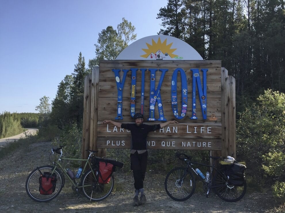
In Canada, all roads are heritage roads. In the Yukon this is certainly the case. Why build a road through land that is rough, empty, and not arable, where summers are short and infested by black flies and mosquitos, and winters cold and harsh?
The Alaska-Canada highway was built during WWII amidst tensions with the Japanese. The Americans wanted an overland supply route to Alaska in the event that their shipping routes were cut off, or worse, an invasion. Construction of the highway began in March of 1942, paid for and built by the US Army Corps of Engineers and was completed a swift 8 months later.
It’s a popular road trip with interesting towns and historic mileposts. Since construction the highway has been paved in its entirety with several sections rerouted. It loosely follows the valleys of the Rancheria, Swift and Teslin rivers as it travels west to Whitehorse, managing to cross the continental divide at a reasonable elevation.
The highway is strange and creepy in parts. Between Watson Lake and Teslin, communities on the highway are non-existent. Despite this, vestiges of service outposts or other establishments erected during an era of economic boom are present in their abandoned state.
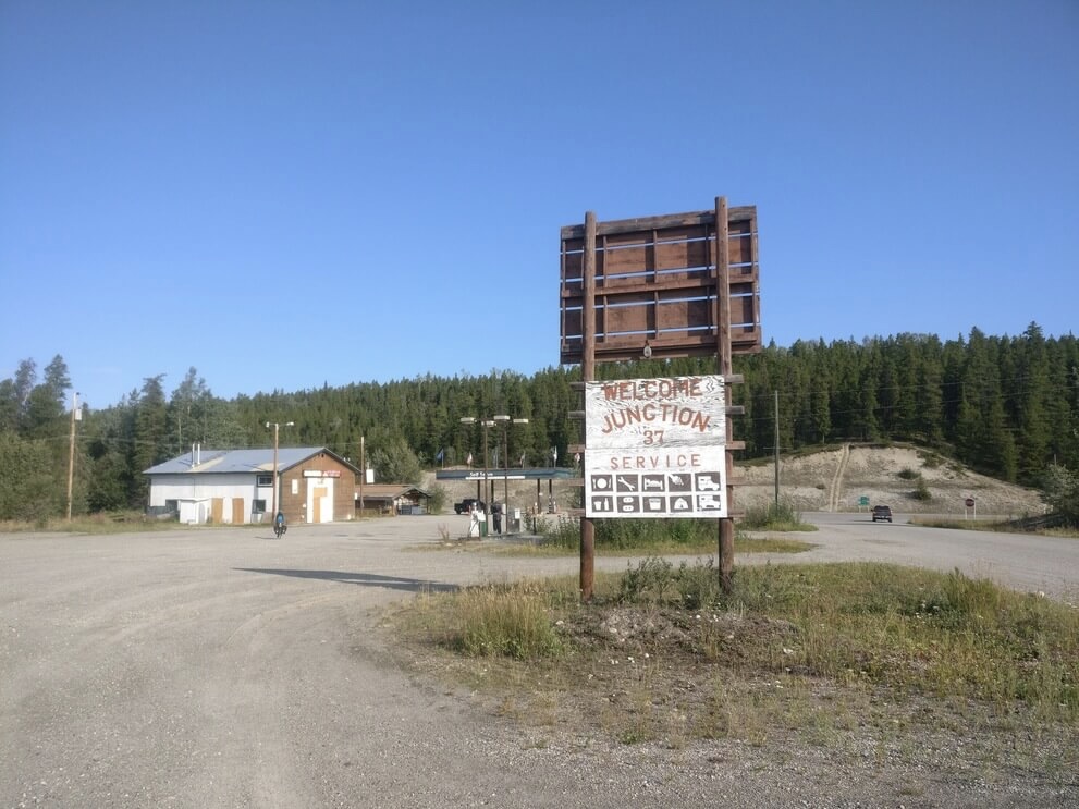
For the cycle-tourist, it is a bizarre experience to see a sign for “Rancheria Motel & Cafe - 2 km” and encounter what looks like a junkyard with “CLOSED” plastered over a shack. Listings on google maps are equally unreliable and gas stations may not be anything more than a pair of diesel and gasoline tanks. We are thankful for the territorial park campgrounds along the way, where there is reliable water access. But the Alaskan highway sorely suffers from the same plague that abandoned ghost towns in the west all do - when people leave they don’t take their junk with them.
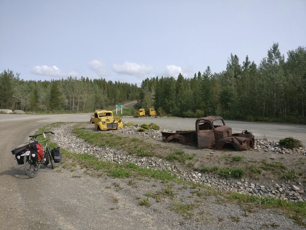
The views along the highway display the subalpine forest and rolling hills of the region in full view. We course along the side of a valley for a while and then climb into the next one. Sometimes the slow-moving rivers are visible coursing next to the road, but mostly there are few distinct features in this gentle landscape. It is difficult to make sense of how the broad valleys are connected as the road undulates over and between them.
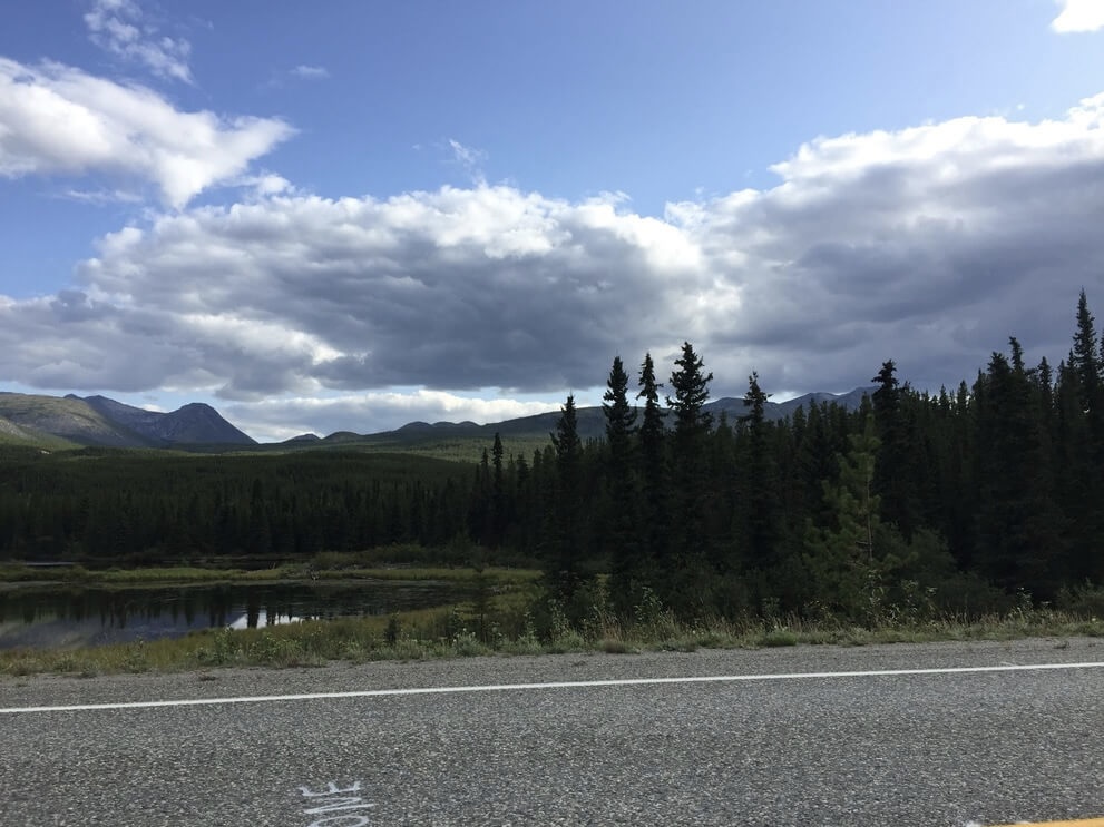
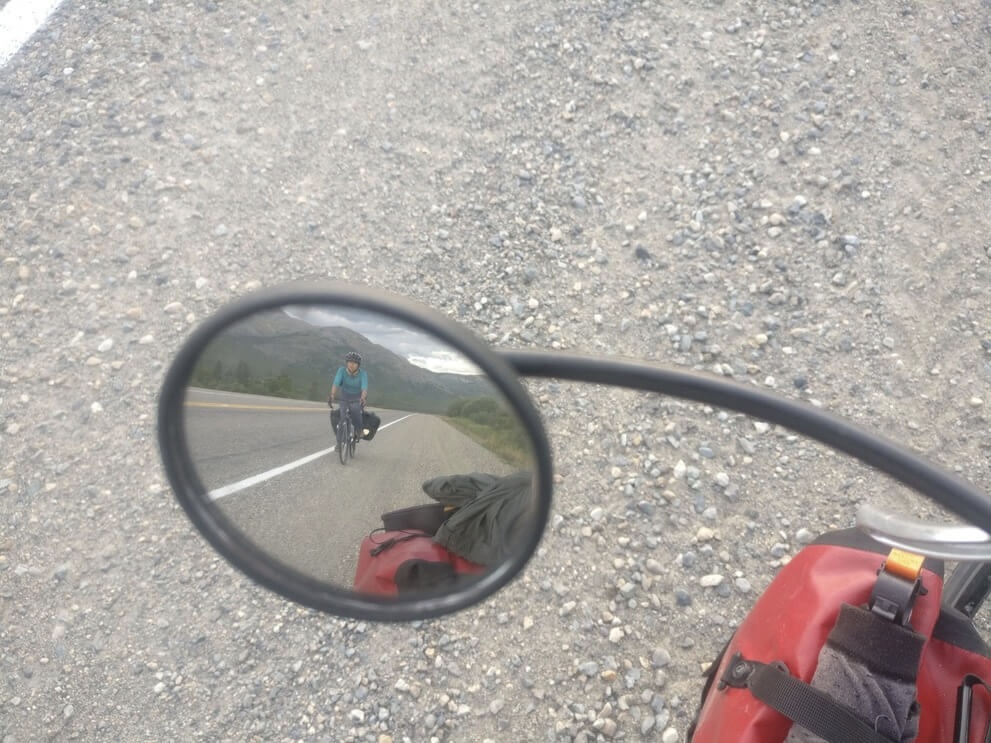
In the evening we make camp in the small forest behind a rest stop near the continental divide. The next morning we finish climbing in the low morning light and emerge in the Pacific Watershed. There is the promise of a “continental divide lodge” where maybe we can have a coffee and a basic breakfast but I am skeptical. It turns out to be open and operating after all and we have ourselves some toast and a Cinnabun.
The cinnamon roll is something of a peculiarity at service stops on these remote Northern highways. Many wilderness lodges, basic as they are, will have cinnamon rolls and coffee for sale. Over the course of riding through the Yukon I must have consumed at least 4. Too tempting to resist when you want to go inside and sit down to take a break. A clue as to its local cult status is hinted at in the book: Beyond Mile Zero: The Vanishing Alaska Highway Lodge Community, in which the cinnamon roll is featured as a cheap and easy staple that bakers could make en masse to sell to hungry workers. Miners during the gold rush nearly a century before the construction of the highway were known to have carried bags of flour into the Yukon over Carcross Pass to support themselves.
We continue along the Alaska Highway: we are on an elevated ridge with fewer hills visible in the background, approaching the Southern Lakes area where the source of the Yukon River is located among the glacial runoff.
In the evening we arrive in the village of Teslin, home of the Tlingit First Nations people who have traditionally inhabited the area. We have a nice dinner at the restaurant in town and in the evening, we ride in the low moon light against the lake before camping in the forest.
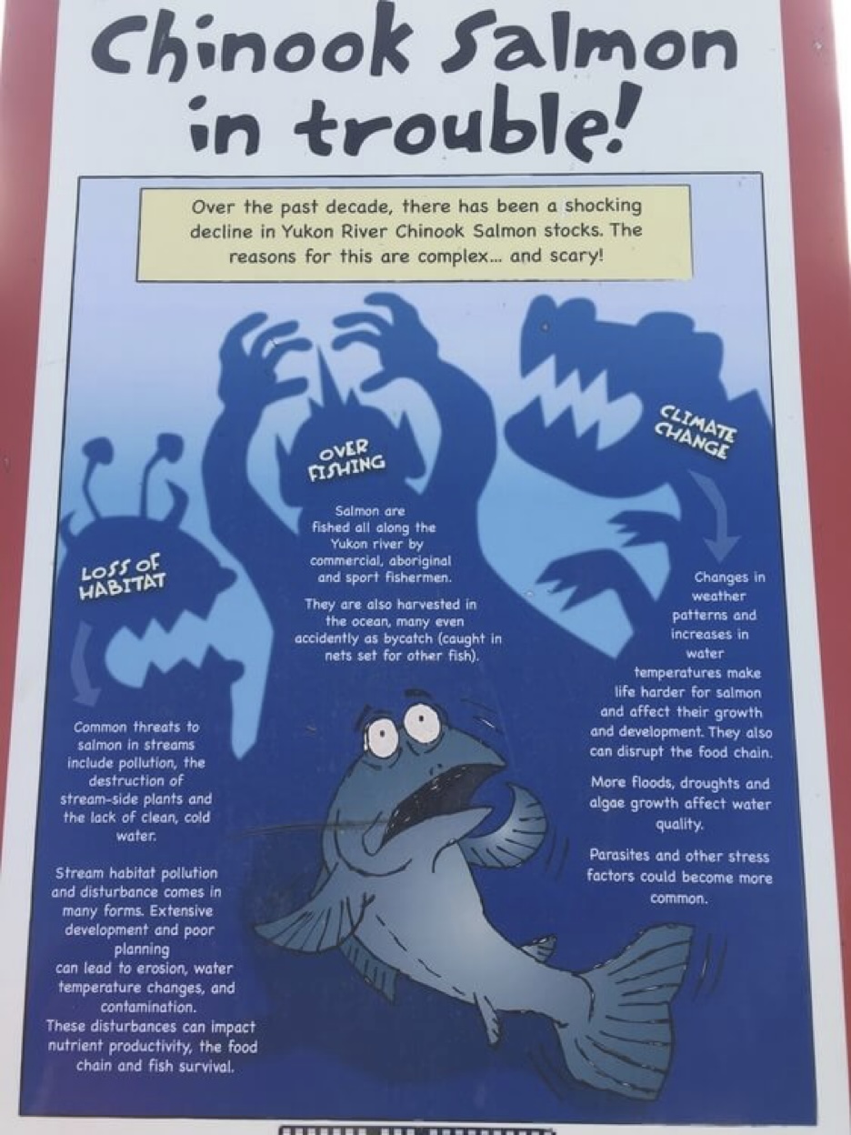
The next day our sights are set on Whitehorse. It is a leisurely climb to Johnson’s crossing, where there is a fantastic bakery run by two charismatic old ladies. We cross the Teslin River over a steel cantilever bridge from the highway’s construction era.
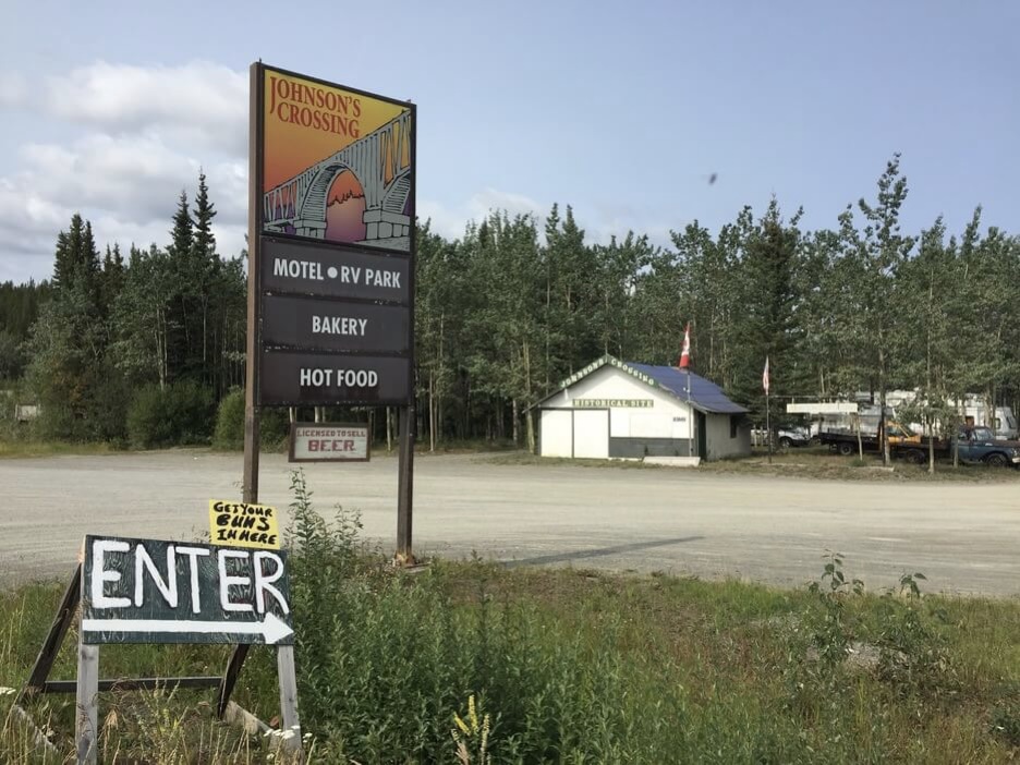
Johnson’s Crossing: note the ‘Get your buns in here’ sign
Nearby there is an information plaque about the Canol road, a rugged, unpaved jeep trail that connects the Alaska highway with Norman Wells in the NWT, traversing a mountainous region dominated by the Selwyn and Mackenzie ranges. Another wartime project by the Americans, the Canol road was constructed to secure a source of fuel to supply Alaskan military bases. Norman Wells sits on the Mackenzie River where there was drilling for light crude. The proposed pipeline was a failure but the road is maintained on the Yukon side in the summer months, while the segment in the NWT to Norman Wells is a heritage trail.
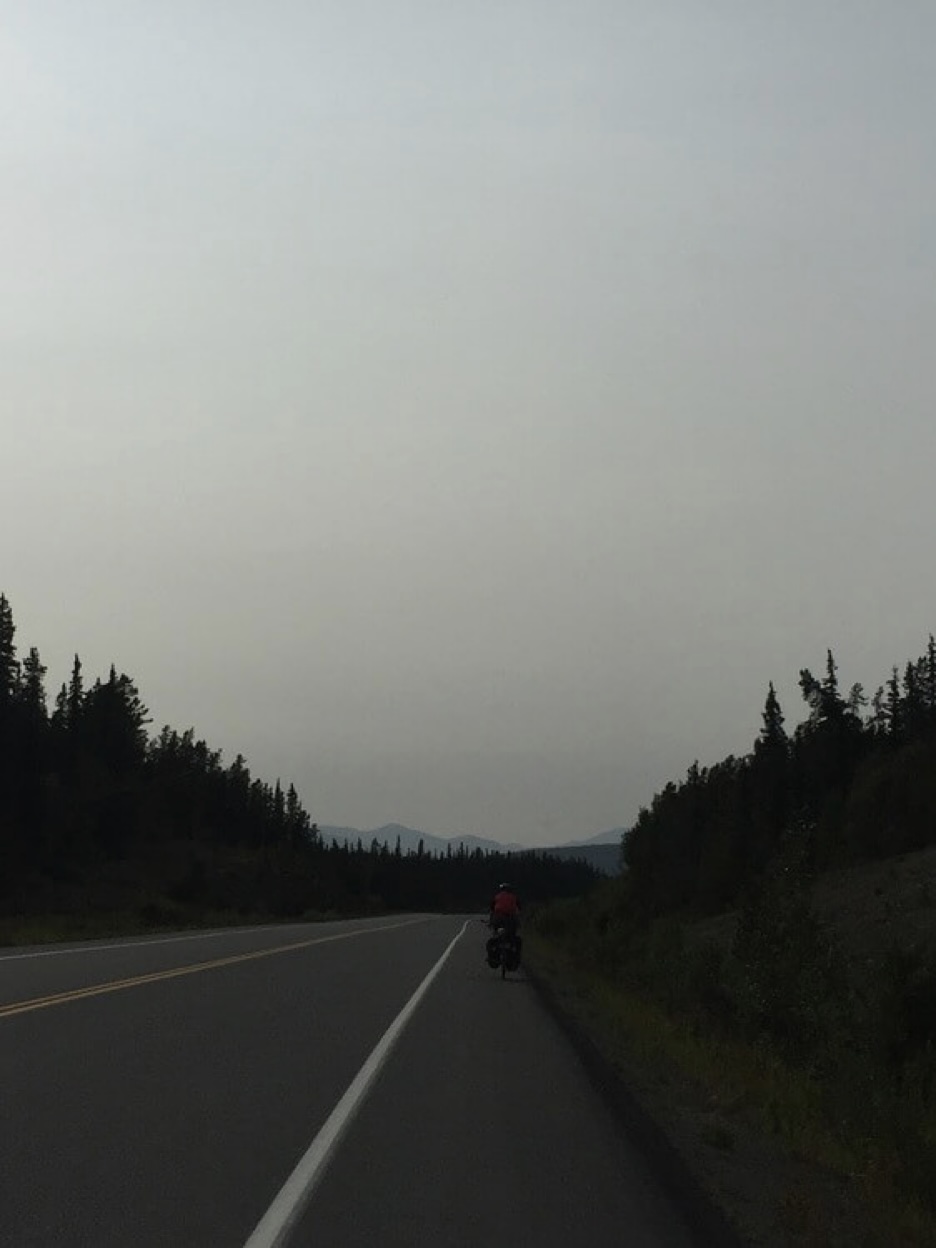
As we approach Whitehorse we cross the Yukon River for the first time and then again at the Whitehorse Hydro Dam. Whitehorse boasts an international airport with direct flights from Frankfurt, Germany in the summer months for outdoor loving European tourists. We do some light sight-seeing and visit the Miles Canyon, but for the most part our time in the town consists of catching up on errands and expensive bicycle maintenance. It rains on our full rest day so we stay indoors at a cafe along with what appears to be the rest of the town.
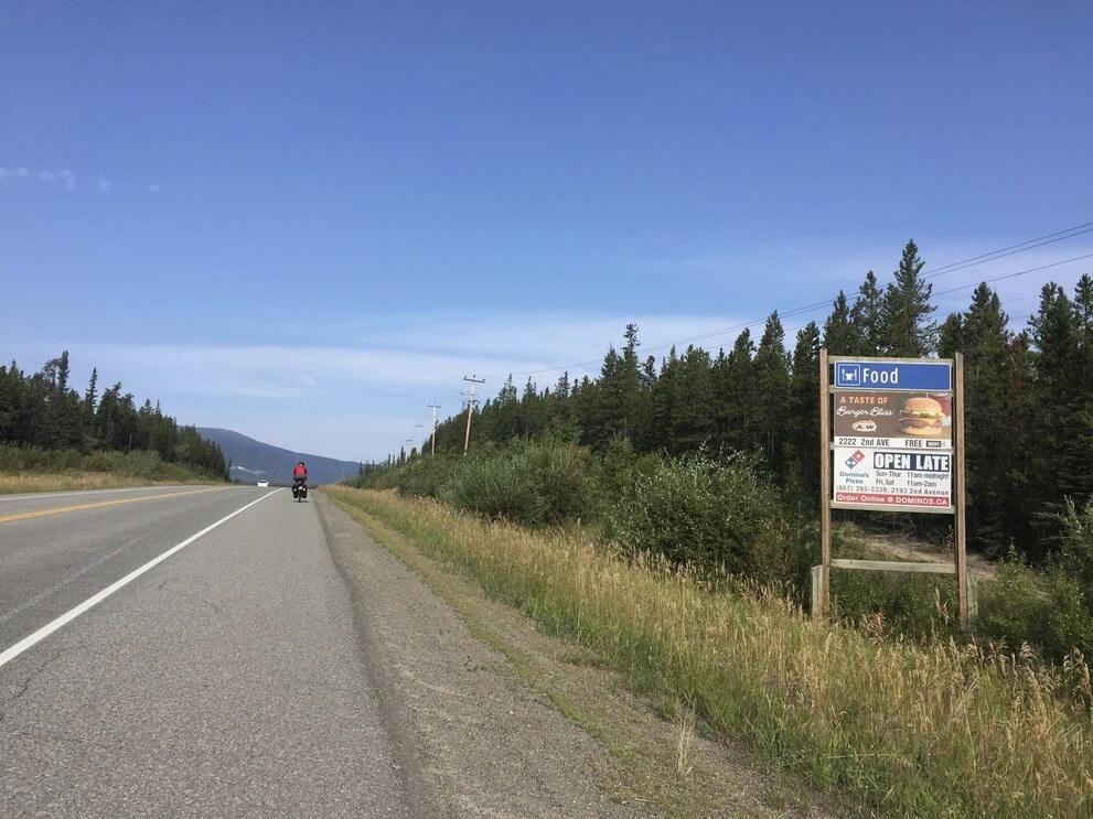
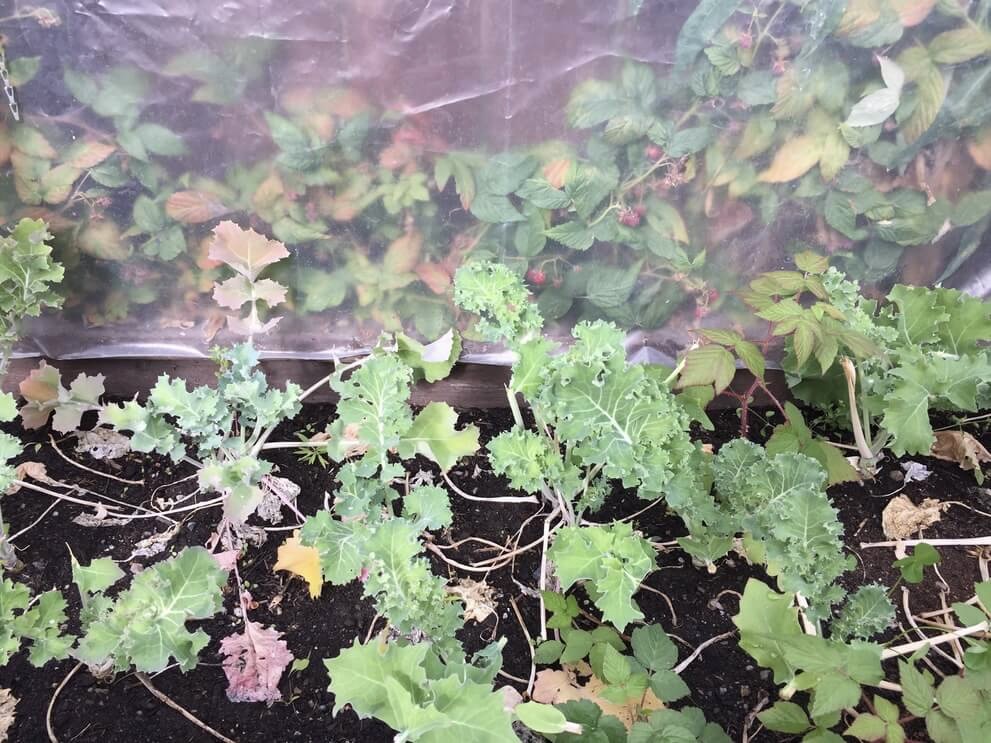
We leave Whitehorse on the North Klondike Highway (Yukon Highway 2) on August 16 and arrive in Dawson City on August 21. It is a beautiful and interesting ride through the taiga landscape of this Northern region. We cross three rivers: the Yukon River and two of its tributaries the Stewart and Pelly, climbing and descending into their respective valleys against the boreal forest and emerging fall colours.
We spend our first night after a half day of riding at a quiet campground next to Fox Lake. The firewood is wet from yesterday’s rain and we have a difficult time starting a fire. A friendly onlooker in a luxurious RV sends their child to give us some Zip brand fire starter. The next day it rains on and off as we ride along the lonely road amongst the black spruce trees. Out of nowhere a sign appears, announcing the presence of Braeburn Lodge, a small establishment selling $10 cinnamon rolls larger than the size of my head. It seems to exist to service the nearby Braeburn airstrip.
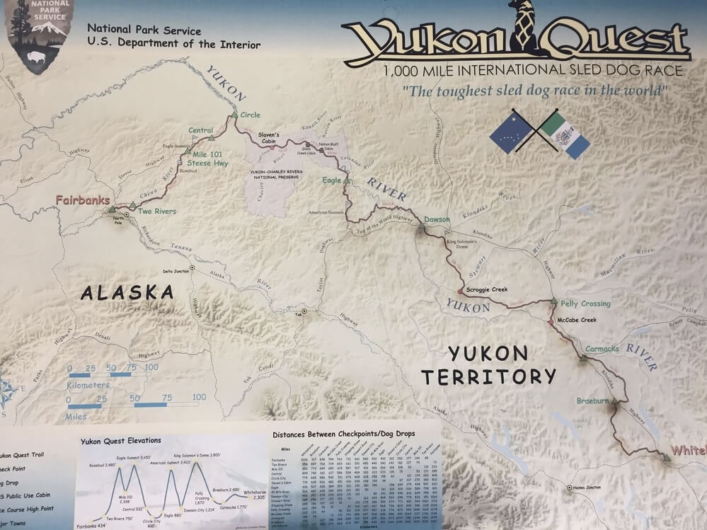
Inside the lodge there is a poster about the Yukon Quest, a 1000 mile long dogsledding race from Whitehorse to Fairbanks, for which there also exists an informal fatbiking option. The route is based on the trekking paths used by the indigenous inhabitants to navigate the mountainous Yukon Interior, which the North Klondike Highway loosely follows. Cool!
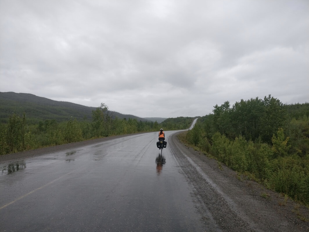
We ride onward in the drizzling rain, before we are treated to a sudden downpour toward the end of the evening. Thankfully, by then we are near the community of Carmacks where we are able to take refuge inside a cozy restaurant. Carmacks is home to the Little Salmon or Carmacks First Nations where there is a larger reservation nearby. Here, the Yukon river nearly turns into itself and becoming an oxbow lake. We ride on farther toward the five finger rapids where there are nice views of the river valley before settling in for the night at Tatchun creek campground.
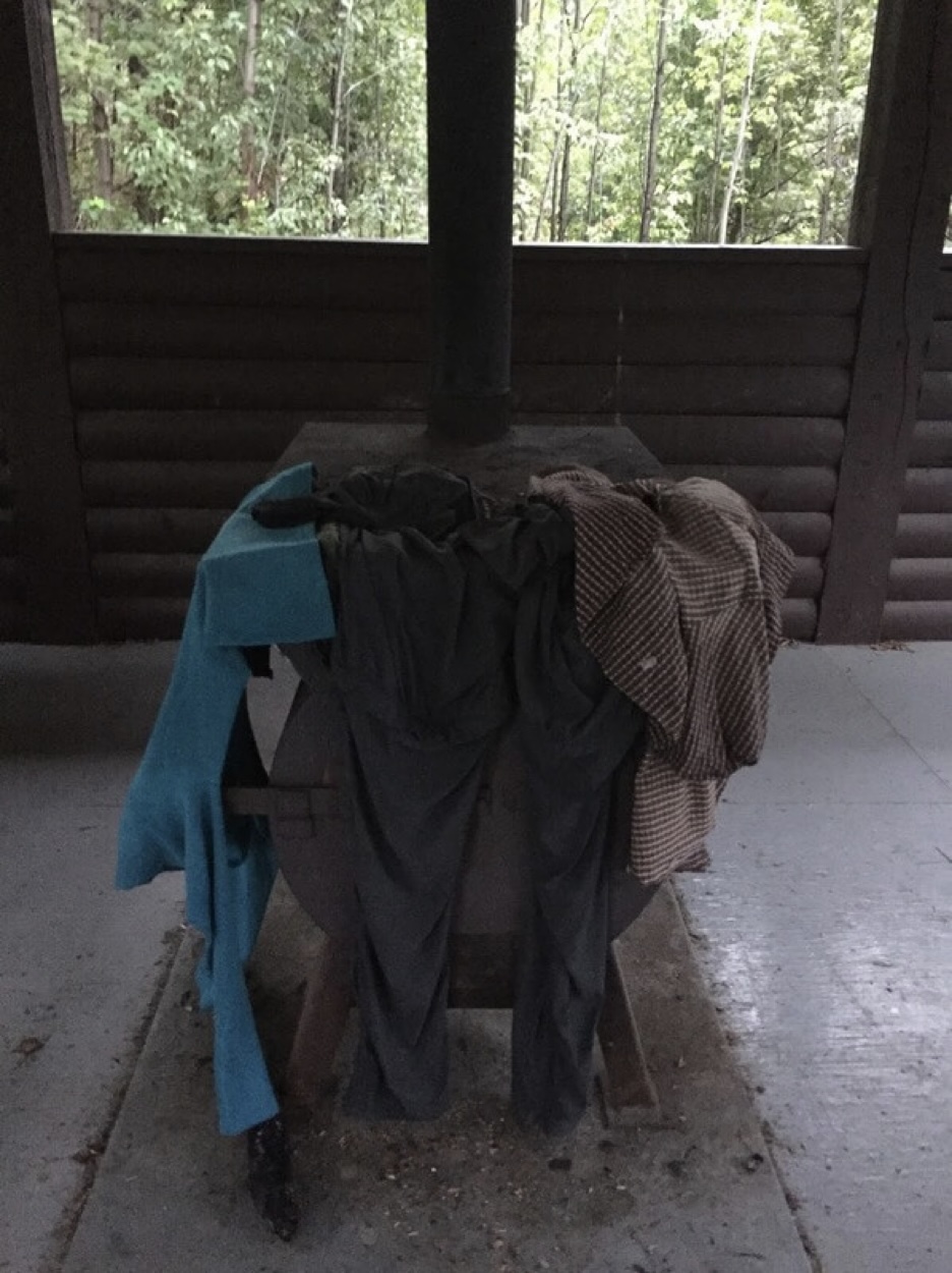
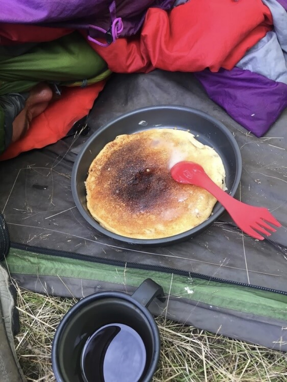
Camp chores and motivational pancakes
As we traverse farther into the Yukon interior the days feel longer as our surroundings become more remote. The landscape is dominated by young forests and an endless maze of rolling hills and slow moving river tributaries. Information plaques tell us that we are near the eastern boundary of Beringia, a landmass which has never been covered by ice. In the narrow Bering strait that separates Russia from Alaska, there lies a land bridge roughly 50 metres below the water. This was purportedly how the first peoples came to inhabit North America from Siberia.
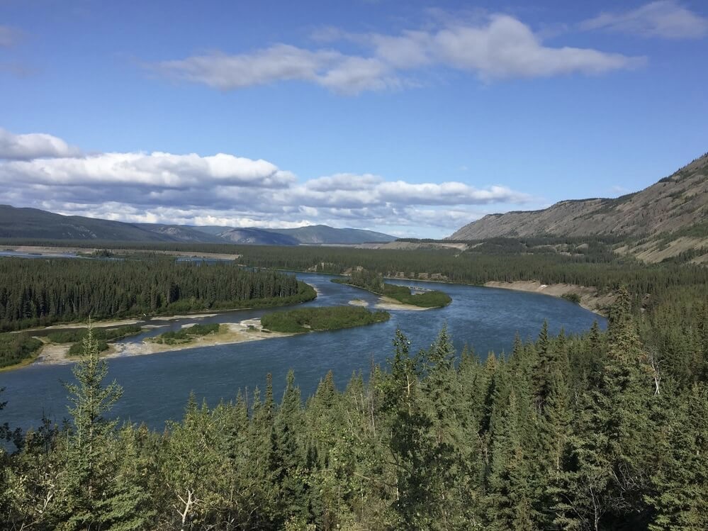
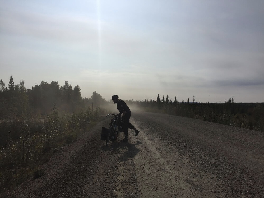
We cross the Pelly River, which is serviced by the Selkirk First Nations community, and then the Stewart River. Leaving Stewart Crossing the road quality deteriorates and becomes unpaved for several tens of kilometres. When trucks and RVs occasionally pass they spray dust into the air which is unpleasant.
For a long time, we ride through a raised plateau surrounded by stunted black spruce trees, willow and aspen shrubs, and patches of fireweed. The mornings get chillier and our days begin to blur together. Soon the road approaches the Klondike River and we enjoy a steep descent into the valley once more.
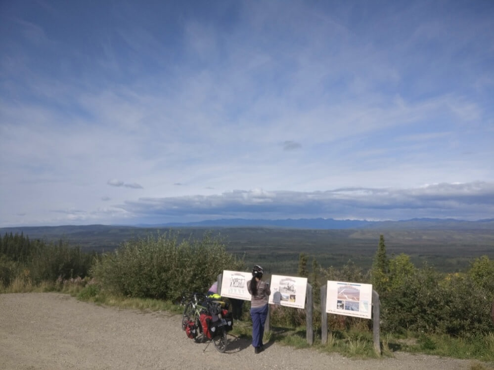
Half-way through the descent, there is a rest stop overlooking the Tintina trench and interpretative panels that explain its origins. The Tintina fault runs diagonally from Eagle, Alaska to the southeast Yukon-BC border where it is a continuation of the Northern Rocky Mountain fault which formed the Rocky Mountains. In the distance we can see the Northern Ogilvie mountains of the Dempster Highway.
Down in the valley we follow the Klondike River to the road’s junction with the Dempster Highway. Here we take a nice break with pancakes next to a defunct car wash. We are visited by passersby returning from the Dempster: an Austrian cyclist on a fat bike decked out in touring gear and a troupe in a Land Rover Defender. The Austrian cyclist says he was turned around because he was not prepared for how cold it was (-12 overnight) and the driver of the truck says he offered a ride to a cyclist warming up in an outhouse.
This is all very concerning because we did not anticipate temperatures significantly below freezing. But we are first headed to Dawson City for a rest day, so at least it gives us time to check the forecast and make a plan.
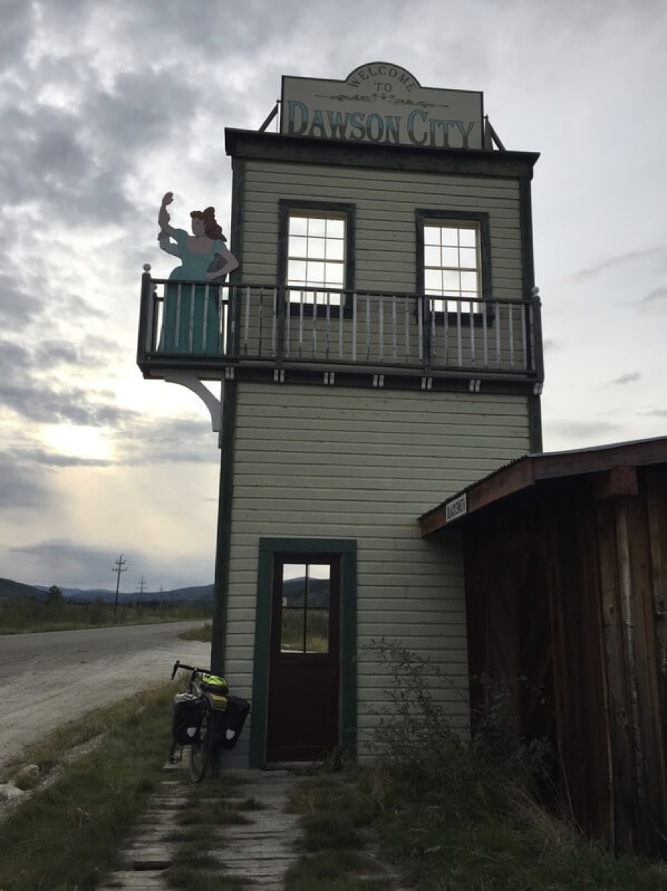
Dawson City is a weird place. Once the most populated city west of Winnipeg during the peak of the Klondike gold rush where all the gold panners slept, spent, and entertained, now a fun-house simulacrum of the era with preserved saloon style buildings with and entertainment offerings that include peep-shows and many references to mining.
Approaching the town there are large mounds of turned over dirt from dredges sampling the waters for gold. The museum offers a glimpse of the mining days when gold nuggets found in the river could be exchanged at the bank for cash and quick riches. Now one thousand dedicated residents who delight in this offbeat corner of the world on the Yukon River call it home.
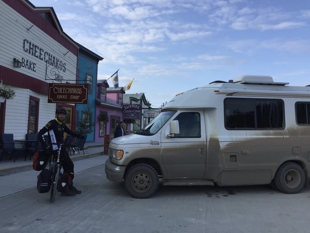
We leave Dawson City for the Dempster Highway on August 21 without knowing exactly what to expect. I have come to learn that the horror stories exclaimed by other cyclists are not predictive and anyway it is better to find out for yourself.
When we approach the junction I am overcome with a sense of trepidation. At the time I did not completely understand why I felt so uneasy. Looking back I think it was because at that point it signalled something of the end. There were only a couple of ways this trip could end. We would either reach the Arctic Ocean or find ourselves in a predicament where our focus will be reaching Inuvik on time for our flights home. And then we say goodbye.
The Dempster Highway
I like bicycle touring because it is a natural antidote to the demands of being a person in the world. On a bicycle trip my priorities are simple and all consuming. I can lose myself in the daily task of riding somewhere. I guess that’s why I keep coming back.
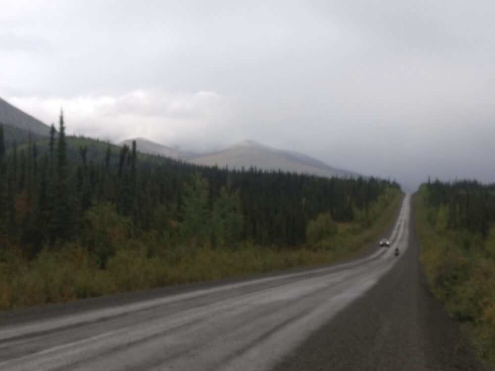
We spend the first day climbing out of the Klondike River Valley and into the foothills of the Ogilvie Mountains. The road follows one of its tributaries to Tombstone Territorial Park where the jagged ridge of the tombstone range is visible. It rains lightly on and off the entire way before we are caught in a downpour. We are only 20 km from the campground and do not stop for fear of the cold. As we near the end, well above 1000 m in elevation, the last of the rain turns to light snow in the air. Clouds start to part and a soft evening light shines on the nearby rock faces.
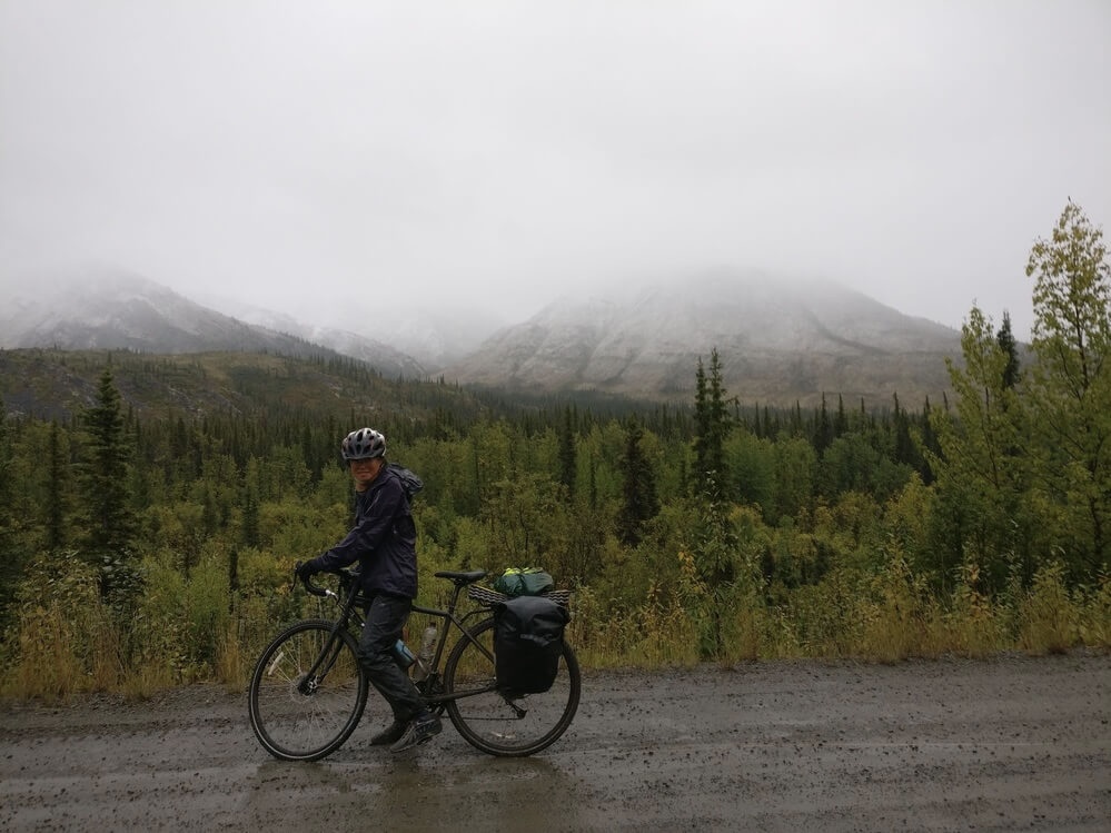
Campgrounds along the Dempster Highway are maintained by Yukon Parks. They feature cooking shelters with woodfire stoves, picnic tables, and split firewood nearby. For us this means we let our hardshells wet out and cook our dinner in relative warmth. Curious onlookers ask about our trip and one friendly stranger offers us some Becherovka, a Czechian Jägermeister. The atmosphere in the evening is cozy as everyone gathers in the cooking shelter to keep warm: talking and playing cards. There are a sizeable number of people in the campground, whether a weekend trip from Whitehorse to visit Tombstone or from farther away to see the end of the road like us.
In the morning we pay a visit to the Tombstone Interpretive Centre run by the Park. There is a small exhibit about the flora and fauna of the Arctic ecozone and the natural history of the land.
We climb to the highest point of the road at North Forks Pass. My road book says that the pass marks the continental divide.
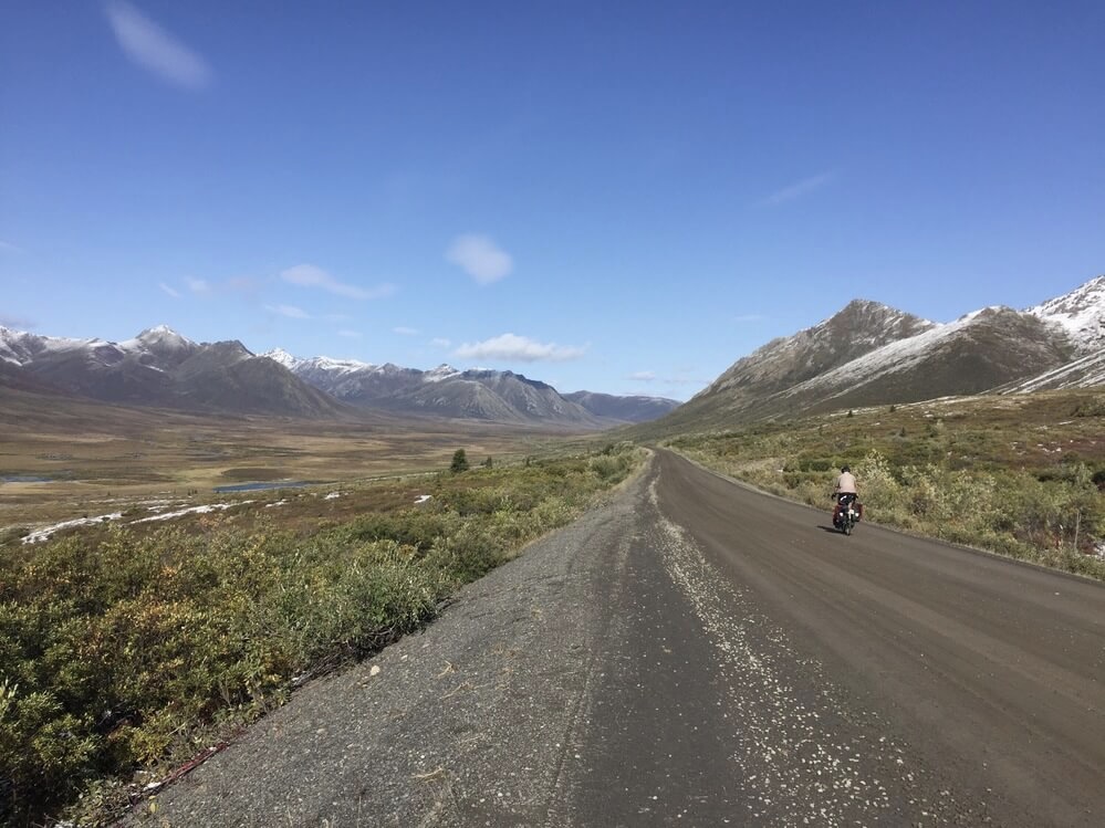
Approaching the pass, the road offers an open view of the expansive plateau where the sources of the waters are visible flowing as small streams in opposite directions.
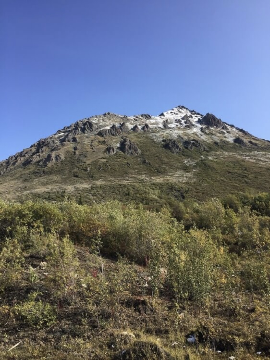
Across the divide into the Arctic Ocean watershed now the road follows the Blackstone River. The guidebook tells me that we are in the small part of Canada which was never covered by the major Laurentide and Cordilleran ice sheets. Mountains in the Blackstone range are distinctly marked by small V-shaped valleys from local runoff, in contrast to the sweeping U-shaped valleys that dominate the landscape of the Rocky Mountains. Rock faces here are overgrown with lichen and stunted conifers with angular features and rocky perches.
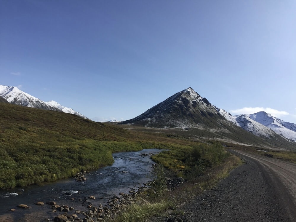
It is a beautiful ride along the tundra with the Blackstone Uplands in view. In the afternoon we have an easy climb over a pass into the Engineer Creek valley. It finally starts to rain after the grey sky threatens as much since the day began. Snow dusts the Blackstone Range like powdered sugar as we have a wet and cold descent and then follow the creek to the Engineer Creek campground.
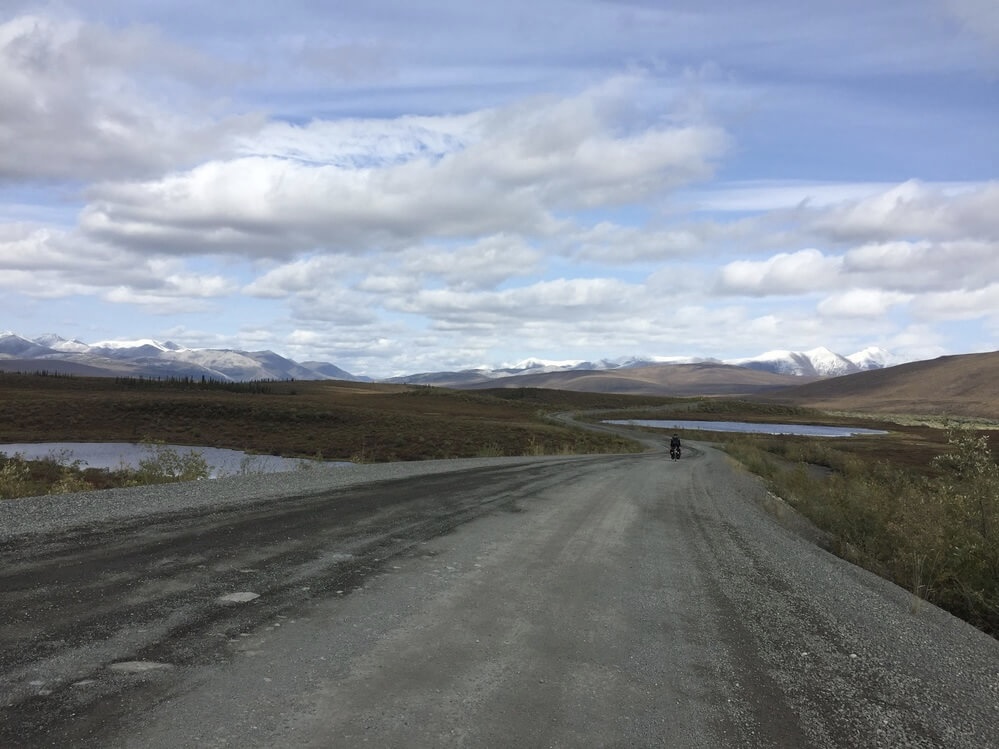
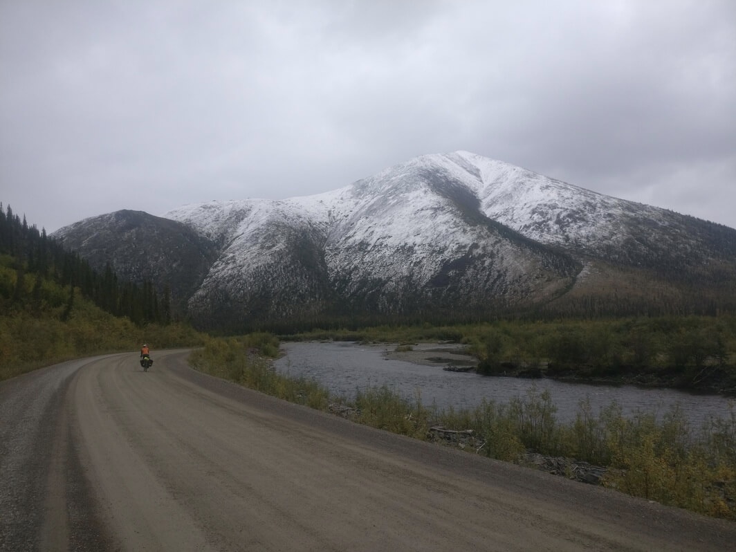
At the campground, a nice man from Alaska offers to share his campsite with us since the campground is full, but we are happy to sleep in the cooking shelter. Later he brings us some boxed wine and chopped firewood. He says he drove past us earlier in the rain and wishes us well. We have a nice evening just the two of us in this dingy shelter huddled by the stove. It is my birthday tomorrow and I reflect on all the funny places where I’ve celebrated it.
It is 3 am and two men barge into the shelter and they sound drunk. I can hear their vehicle parked outside of the shelter. We are in our sleeping bags on top of one of the picnic tables. Reinier is awake and we make ourselves known to them. They are trying to get the stove going, they keep talking to each other in loud voices about random topics before driving off. It is a bizarre encounter but overall harmless.
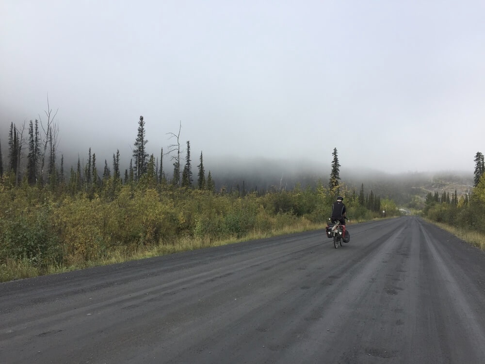
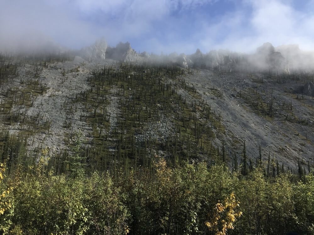
In the morning Reinier’s bike has some mechanical problems so we linger in the cooking shelter. When we start riding there is a low fog in the valley that is just beginning to clear up. Today we follow the Ogilvie River, another tributary of the Peel River, before a steep climb out of its valley and onto the Eagle Plains ridge.
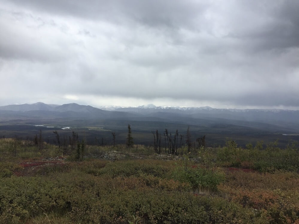
At the top of the climb, we have another chilly lunch at the rest area. There is a great view of the river valley and the Ogilvie ranges in the background. So far the road quality has been very good. The cold surface temperatures have made it solid and as smooth as pavement. Road work is swift with maintenance camps visible if there happens to be heavy rain that threatens to wash out the highway completely.
In the afternoon, we ride along the elevated ridge of Eagle Plains, about which cyclists whom we encountered earlier had a lot to say. Progress is substantially slower as our tires make tracks on the soft, muddy gravel but it is still rideable even with our narrow rims.
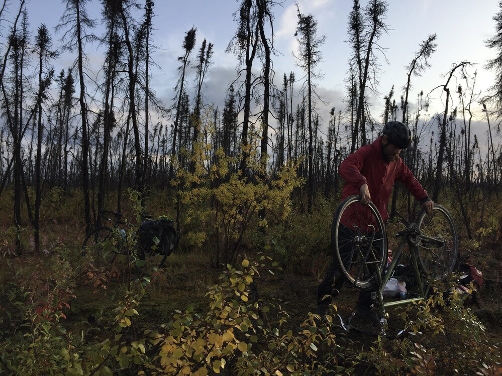
In the evening Reinier’s bike decides to fail in a major way so we are stopped for some chilly repairs on the Ridgeline. Somehow he manages to convert it to a single speed by removing the rear derailleur and shortening the chain. Cars stop and ask us if we are okay as he takes things apart. It doesn’t take too long to create a workable solution but the stress and cold from standing still makes us call it a day. We make camp on the alpine forest floor next to the roadside and look to tomorrow.
In the morning, the make-shift single speed is put to the test. It is a last ditch effort after a long string of undiagnosed mechanical problems with the derailleur since Meziadin Junction in British Columbia. The bike seems to be cooperating and we are relieved.
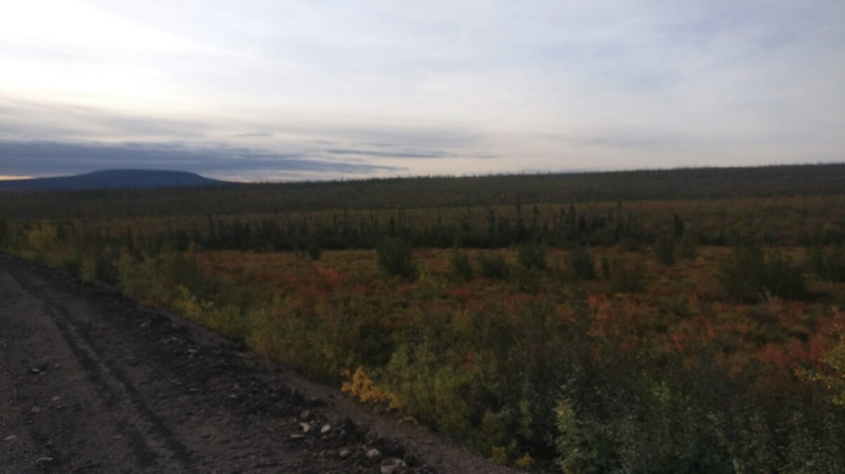
Our troubles seem to be over for now, so we continue after a cold evening on the damp tundra floor. The sun is hidden somewhere behind a blanket of cloud and fog and I can see my breath when I exhale. My hands are rather cold and I’m tired but stopping makes the cold worse so we trudge along. Soon the sun comes out and I’m not shivering anymore.
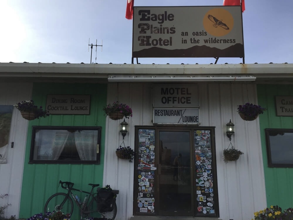
Part of the Eagle Plains ridge corresponds to the continental divide and so it is a very neat experience to ride it by bicycle. Few roads are built along a ridge, and fewer still are built on one that divides two enormous watersheds. Soon there is a sign for visitor facilities and shortly after that we arrive at the long awaited Eagle Plains Hotel, where there is a beautiful view of the valley ahead and provisions in the Yukon wilderness.
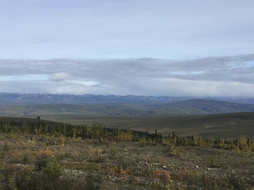
As we ride the remaining few kilometres of the day, the evening sunset casts the Richardson mountains in the valley in a soft light. Crossing the Eagle River there are larches now scattered among the black spruce trees. Today was cold but at least it did not rain. Nonetheless, the road is soft and sticky. We make camp in what looks like an old gravel camp in lieu of the spongy, damp tundra floor this time.
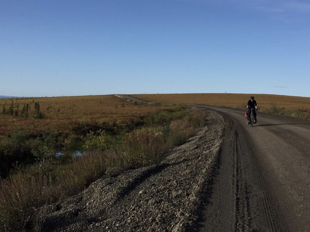
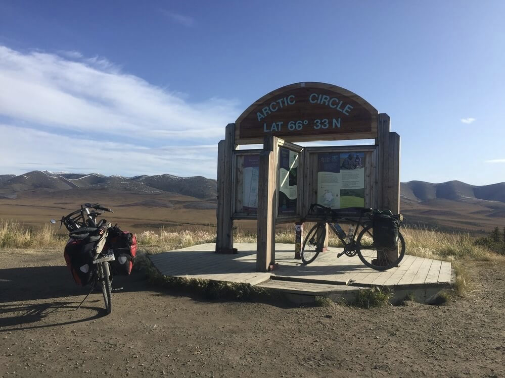
The next day we follow the Eagle Plains plateau along the western edge of the Richardson mountains to the border of the Northwest Territories. They demarcate the northernmost part of the Yukon-NWT border, before extending along the Arctic coast.
The road is flat in the beginning but then steep hills start to occur as we cross several tributaries of the Porcupine River. We have our lunch break at the Rock River government campground in the aspen tree-lined valley. It is a day of milestones as we cross the boundary for the arctic circle in the morning, where there is an interpretive panel demarcating this, then in the afternoon we ride through the open alpine tundra and start the ascent to the pass through the Richardsons, which marks the territorial boundary.
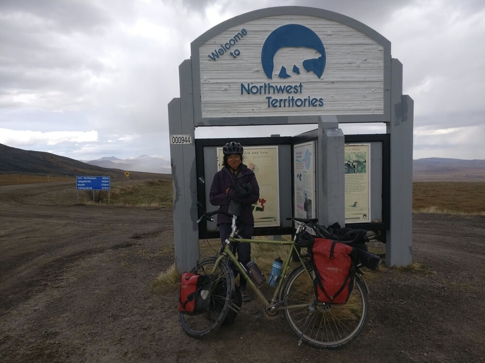
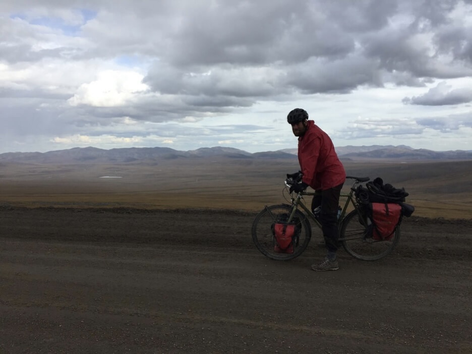
At the pass, there is a welcome sign and an interpretive panel about the Northwest Territories. It’s cold and windy on the small saddle with expansive view of the plateau ahead of us. As we descend we return to the land that was once covered by the great Laurentide ice sheet. I can barely take in my surroundings as my eyes are scanning for hazards on the steep descent. Fall colours are abundant in the surrounding tundra and there is a pink glow to the mountain faces.
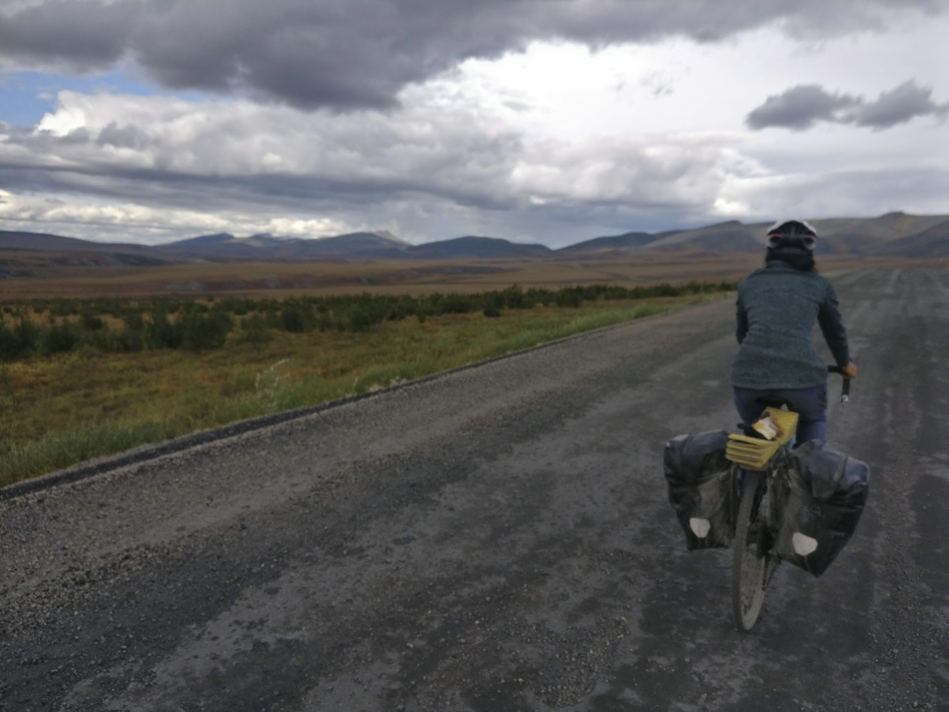
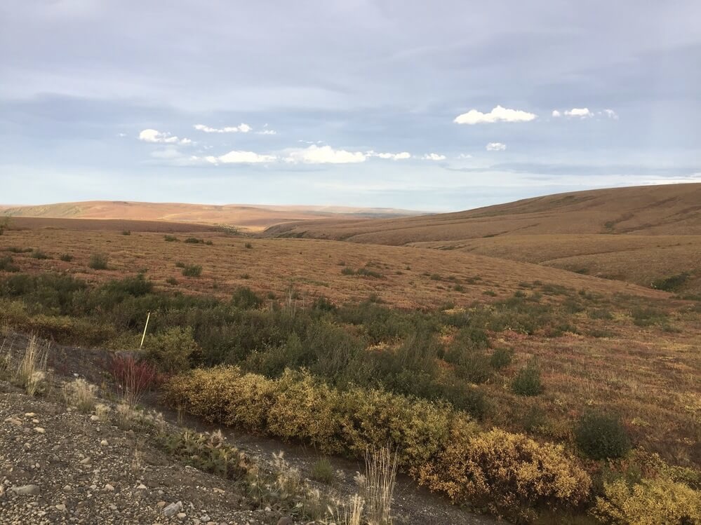
We weave our way through the Richardsons on our way to the Peel Plateau. Eventually, features on the horizon slowly flatten and rolling hills start to dominate the landscape as we descend into more successive valleys.
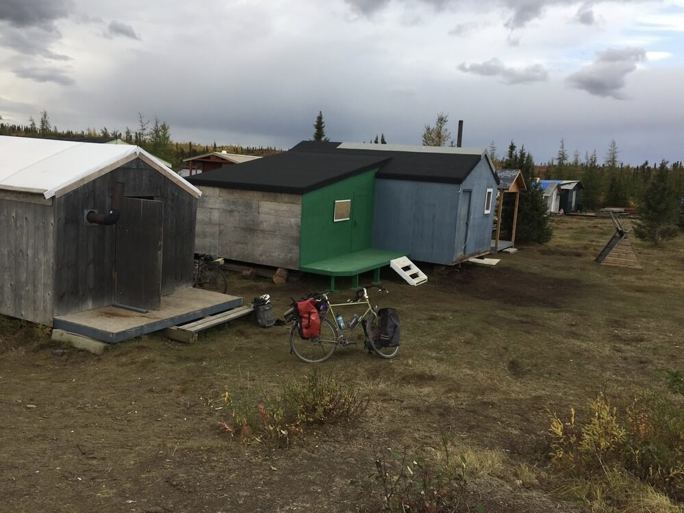
Toward the evening we arrive at Midway Lake and look for a quiet place to camp. The lakeside is riddled with small empty shacks and a local informs us that it is all from the annual music festival. He invites us to stay in one of the small cabins and next door to the one occupied by him and his wife. The region around the Peel Plateau is the ancestral home of the Tetlit Gwich’in people. It aligns with the range of the Porcupine Caribou; here they cross the mountains on their way to their birthing grounds on the coastal plains. The man invites us to try some caribou meat that he has hunted.
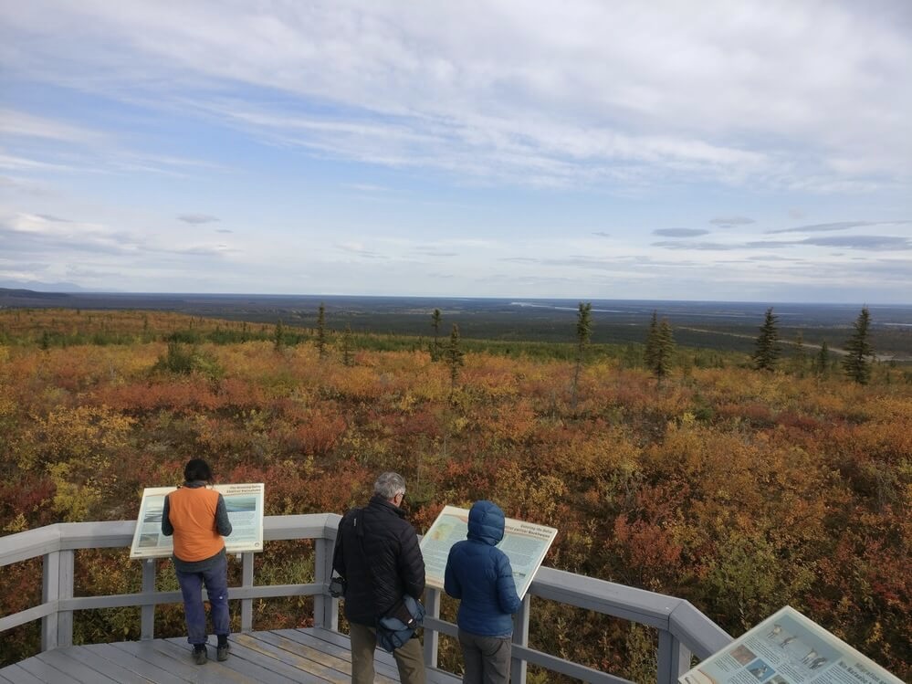
In the morning, we ride along the rolling plateau, the glint of the Peel River and surrounding river delta visible in the distance.
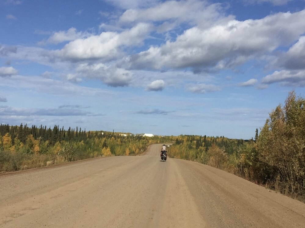
Before long we are descending again on loose gravel toward the Peel River crossing. Back in the land of spruce trees, larches, and birches, these woods feel out of place so far north after days of riding through an open tundra. The ferry takes us across the river and we make our way to Fort McPherson, a small community of about 900 Tetlit Gwich’in, where we have lunch and buy a few groceries. Then it is onward to the mighty Mackenzie River and community of Tsiigehtchic on its banks. The delta is remarkably flat. The low-relief landscape feels almost claustrophobic against the large looming sky.
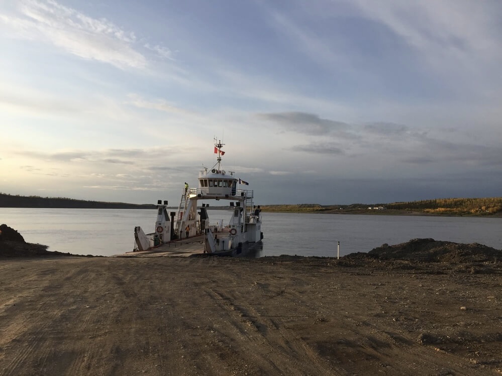
We reach the Mackenzie River towards the evening. The water is a beautiful in the evening light with its wide expanse against empty sloping banks. The crossing is at the confluence of the Mackenzie and Arctic Red Rivers, whose headwaters are in the Mackenzie Mountains farther south. The ferry first takes us across the tributary to Tsiigehtchic, another small Gwich’in community, then across the Mackenzie to the final part of this final stretch to Inuvik on the Dempster Highway.
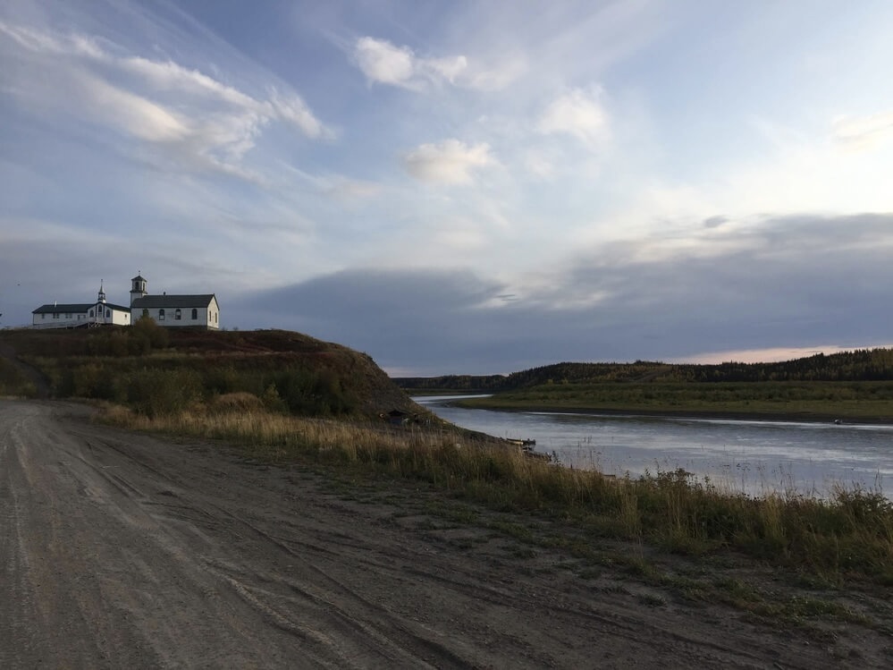
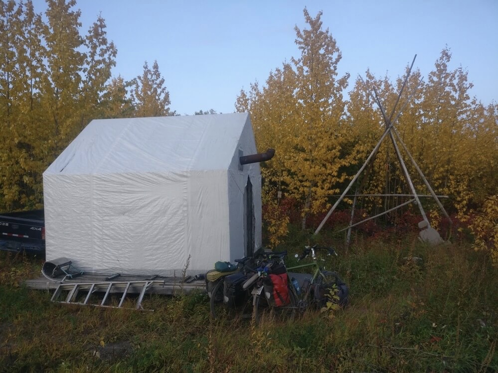
A ferry worker strikes up a conversation with us and mentions that there is a small shack that we could use to sleep in as the owner is away. He makes a point to mention it to travellers who pass by.
The next day is a long one through the wetlands and mixed forests of the delta. It is quiet and the abundance of yellow birch trees remind me of fall hiking in New England. Aspen leaves sing whenever a gust of wind blows by. We relax and nap on picnic tables at the day use rest areas here and there.
We reach Inuvik in the evening. It sits atop a hill and the first thing you notice when you approach the town proper is the paved road surface and sidewalks. Quite bizarre after so many days in the wilderness.
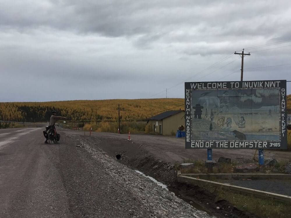
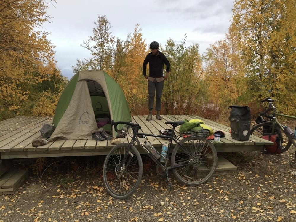
A town of 3400 people, it is the largest community in Canada above the Arctic Circle. There are hotels and restaurants, a park and golf course, a church shaped like an igloo, and even a summer greenhouse to take advantage of the midnight sun. We make our way to Happy Valley Territorial Park, a nice campground in the middle of the town, where there is a free campsite for us due to an online booking mishap. Most of the buildings in Inuvik are built on stilts due to the permafrost. The hydro and sewer lines are also built above ground. In keeping with this, our campsite has a raised wooden platform.
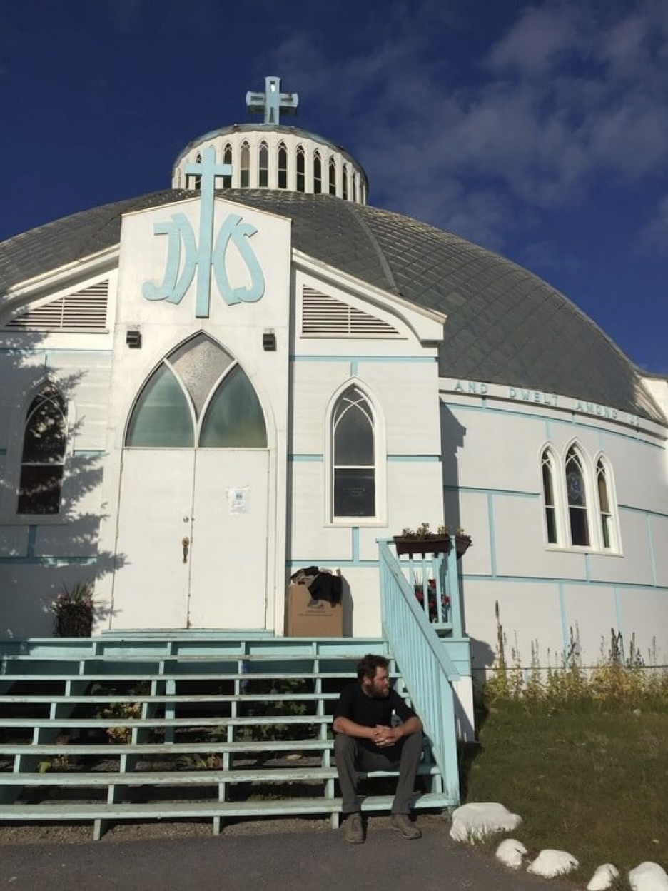
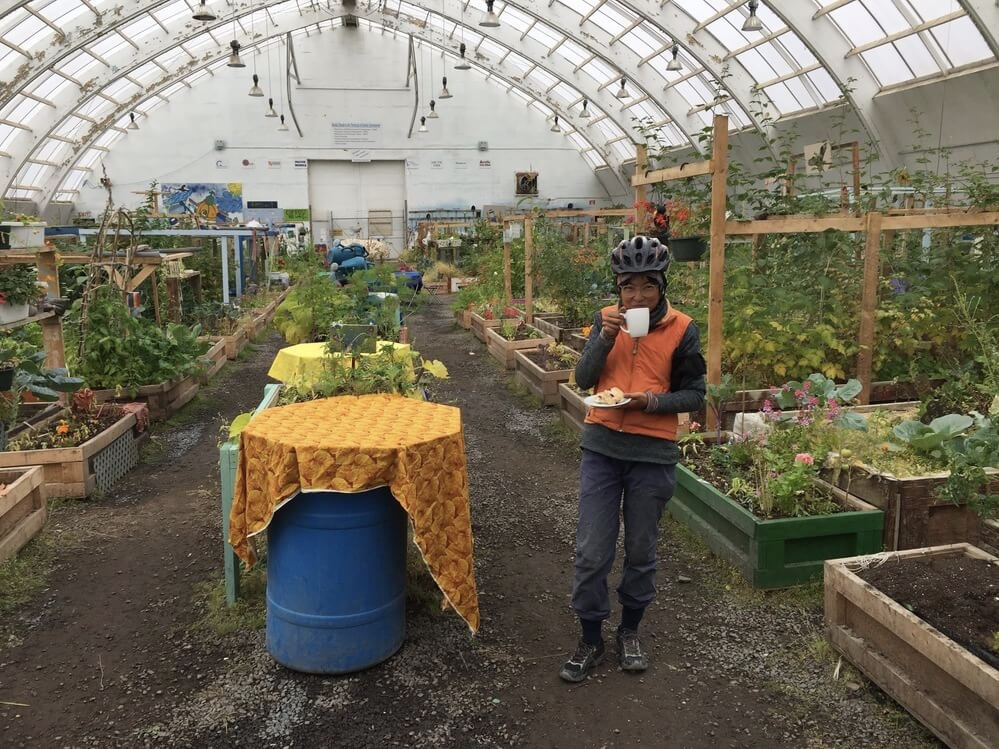
We explore the offerings of the town. The only dining establishment that is open this late in the evening is called the Roost and we have ourselves a falafel and pizza which are both very good. The next day we have some fresh baked goods and coffee at the NorthMart grocery store, and then visit the Visitor’s centre, library, igloo-shaped church, and marvel at the greenhouse.
The Beaufort Sea
Life is too short to not be doing the things you want to. Every time I go away it feels like I am returning to somebody else’s life.
The Dempster Highway ends at Inuvik but to get to the coast one must continue on the Inuvik-Tuktoyaktuk Highway which, prior to 2016, was a winter-only ice road for overland traffic. We ride this to Tuktoyaktuk, a small Inuvialuit community of 1000 inhabitants on the Beaufort Sea. Past the tree line and through the rolling arctic tundra in full bloom.
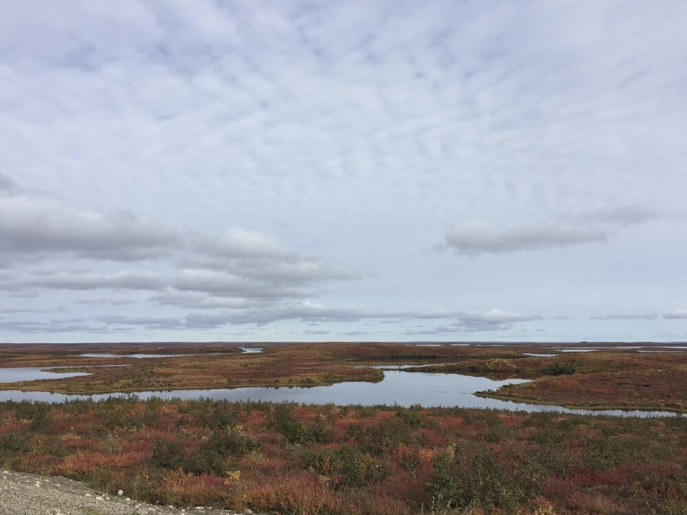
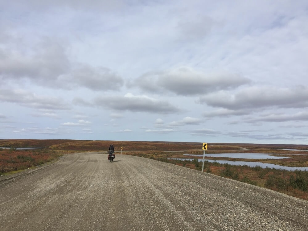
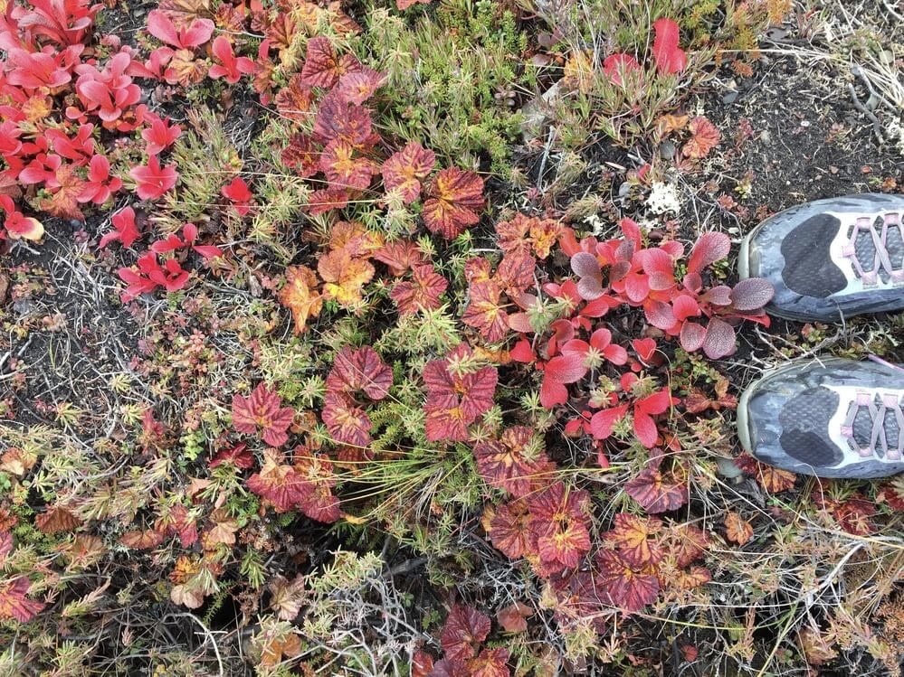
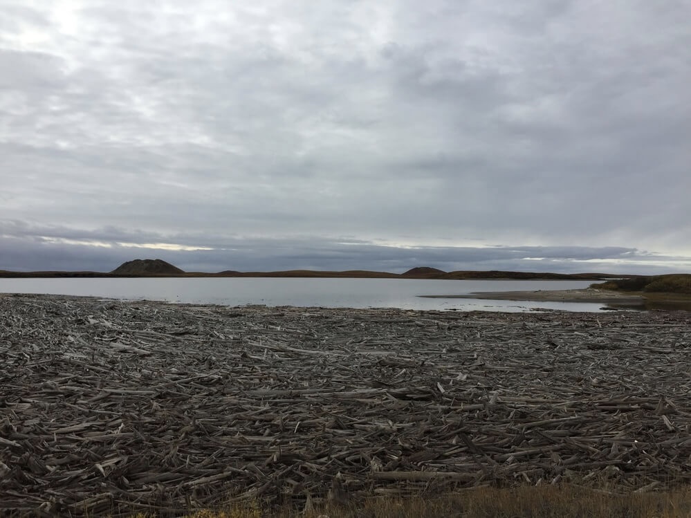
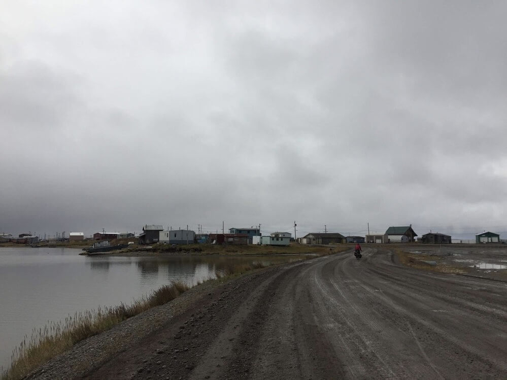
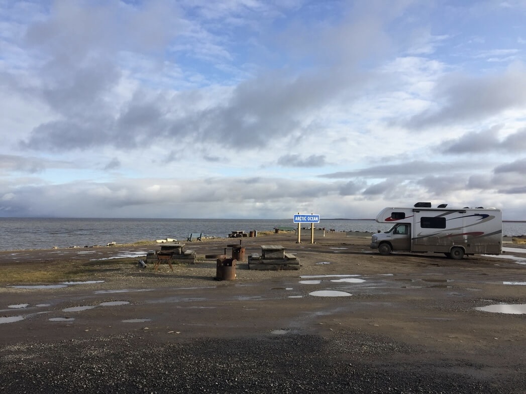
The road to Tuk is noticeably built up and progress is slow going for all the soft muddy sections. But we make it there after one day and a half of riding. As we approach the community, large pingos break up the horizon, expansive bays covered with driftwood weave in and out of sight along the shore. Past the town dump, the industrial area, rows of residential buildings, and to the edge of town: the sea, the sea, at last! We made it!